Mulfingen, municipality and village in Germany
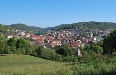
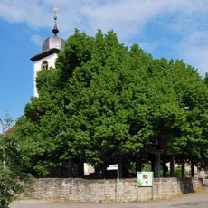
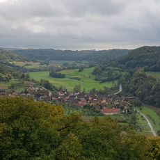
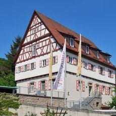
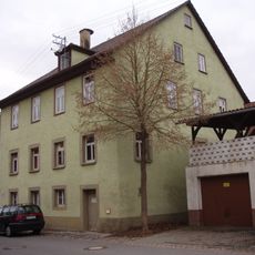
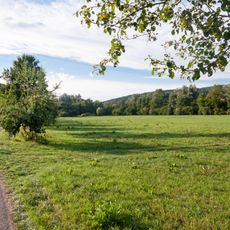
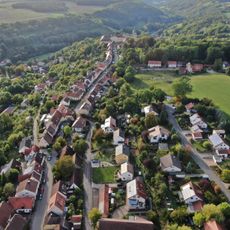
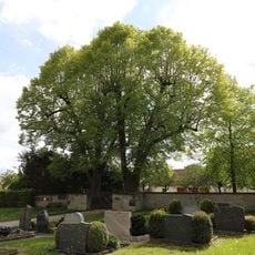
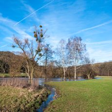
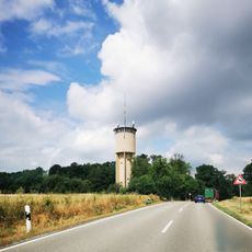
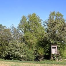
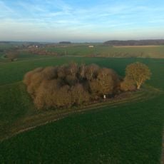
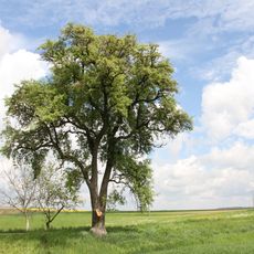
Mulfingen is a non-urban municipality in the Hohenlohe region of southwestern Germany, part of the Krautheim GVV administrative grouping. It is made up of several small villages and hamlets spread across a hilly landscape of fields and woodland.
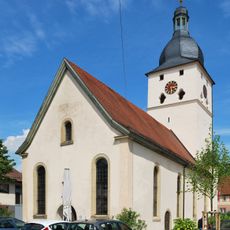
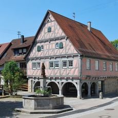
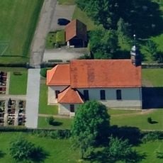
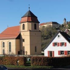
Mulfingen developed during the medieval period as a small rural center serving the farms and hamlets of the surrounding hills. In the 20th century, the municipality became known for a painful episode when the St. Josefspflege orphanage was used during the Second World War for Nazi experiments on Roma and Sinti children.
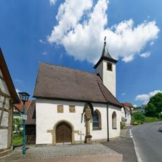
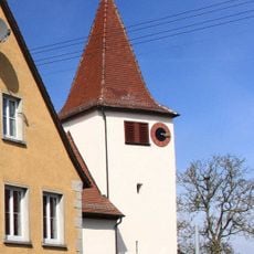
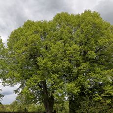
The name Mulfingen traces back to an early settlement that served the farms scattered across the surrounding hills. Today the village keeps a slow rural pace, and visitors can see that daily life still revolves around the land and the small communities that make up the municipality.
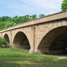
Mulfingen is reachable by local roads and sits close to larger towns in the Hohenlohe region, making it a straightforward stop by car. The villages within the municipality are small enough to explore on foot, and there are paths through the surrounding fields and woodland for those traveling by bike.
Friedrich Wohnsiedler, born around 1879 in Mulfingen, emigrated to New Zealand around 1900 and went on to become a respected winemaker there, an unexpected connection between this small German village and the other side of the world. The former orphanage St. Josefspflege now serves as a memorial space documenting the fate of the Roma and Sinti children held there during the war.
The community of curious travelers
AroundUs brings together thousands of curated places, local tips, and hidden gems, enriched daily by 60,000 contributors worldwide.