
Höslwang, municipality of Germany
Location: Rosenheim
Elevation above the sea: 594 m
Part of: Verwaltungsgemeinschaft Halfing
Shares border with: Eggstätt, Bad Endorf, Halfing, Amerang
Website: http://hoeslwang.de
GPS coordinates: 47.95417,12.32972
Latest update: March 3, 2025 10:17

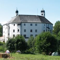
Schloss Amerang
3.5 km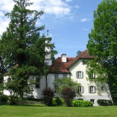
Hartmannsberg
4.9 km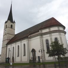
Church of the Assumption, Halfing, Bavaria, Germany
4 km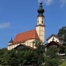
St. Nikolaus (Höslwang)
60 m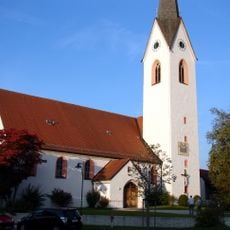
St. Rupertus
4.5 km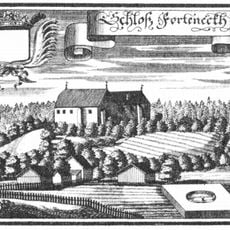
Hofmark Halfing
2.9 km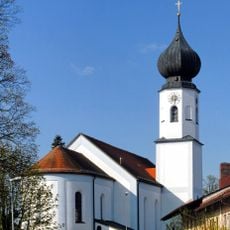
St. Jakobus
5.6 km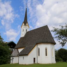
St. Bartholomäus (Guntersberg)
3.6 km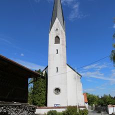
Katholische Kuratiekirche St. Rupert und Laurentius
4 km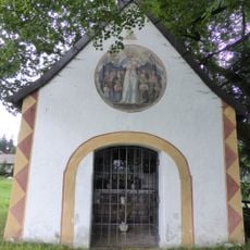
Ehem. Schlosskapelle Forchtenegg
2.8 km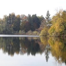
Eggstätt-Hemhofer Seenplatte
4.7 km
Halfinger Freimoos
4.9 km
Marias Kino
5.5 km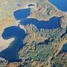
Eiszerfallslandschaft von Hartsee und Kautsee
4.2 km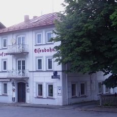
Bahnhofstraße 37
5.8 km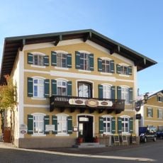
Gasthof in Form einer Dreiflügelanlage um einen Hof
4.8 km
Bahnhofstraße 26
5.8 km
Landhaus
5.6 km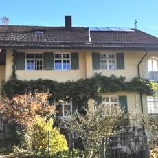
Landhaus
5.6 km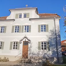
Pfarrhaus
5.5 km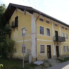
Rosenheimer Straße 3a
5.7 km
Stadel
5.4 km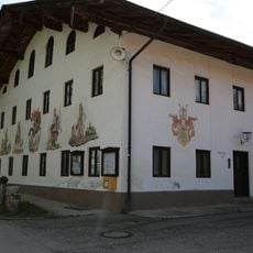
Ehemaliger Gasthof in Form eines Einfirsthofes
4 km
Altes Schulhaus
4.7 km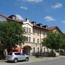
Bahnhofplatz 3
5.8 km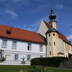
Pfarrhof St. Nikolaus
74 m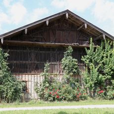
Stadel
955 m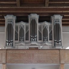
Orgel der Katholische Pfarrkirche St. Jakobus der Ältere - Bad Endorf
5.6 kmReviews
Visited this place? Tap the stars to rate it and share your experience / photos with the community! Try now! You can cancel it anytime.
Discover hidden gems everywhere you go!
From secret cafés to breathtaking viewpoints, skip the crowded tourist spots and find places that match your style. Our app makes it easy with voice search, smart filtering, route optimization, and insider tips from travelers worldwide. Download now for the complete mobile experience.

A unique approach to discovering new places❞
— Le Figaro
All the places worth exploring❞
— France Info
A tailor-made excursion in just a few clicks❞
— 20 Minutes