
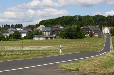
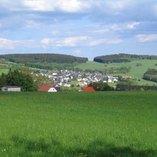
Waigandshain, municipality of Germany
Location: Westerwaldkreis
Elevation above the sea: 530 m
Website: http://rennerod.de
GPS coordinates: 50.64472,8.08528
Latest update: March 3, 2025 12:43
Fuchskaute
2.2 km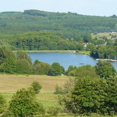
Heisterberger Weiher
5.7 km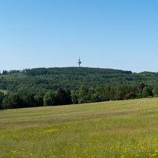
Höllberg
4.6 km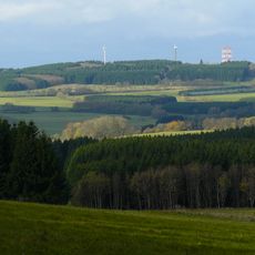
Salzburger Kopf
3.7 km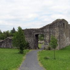
Junkernschloss
7.2 km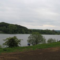
Driedorfstausee
6.8 km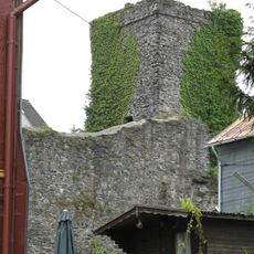
Oberburg Driedorf
7 km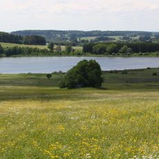
Breitenbachtalsperre
919 m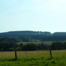
Bartenstein
6.2 km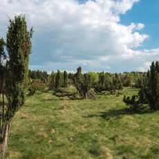
Wacholderheide Westernohe
4.6 km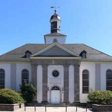
Evangelische Kirche Driedorf
7.2 km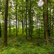
Rabenscheider Holz
5.1 km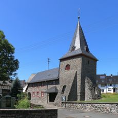
Kirche Mademühlen
6.1 km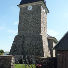
Evangelische Kirche
6.1 km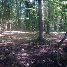
Naturschutzgebiet Bermershube bei Heisterberg
4.8 km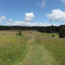
Fuchskaute
2.4 km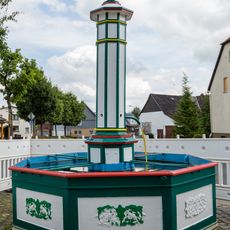
Laufbrunnen
6 km
Portal und Kriegerdenkmal
7 km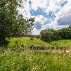
Rückerscheid mit Aubachtal
5 km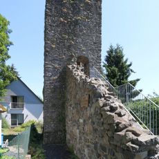
Schalturm
7.1 km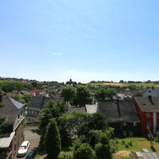
Gesamtanlage Historischer Ortskern
7.1 km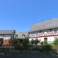
Marktstraße 20
7.1 km
Fischbach-Mühle
6.4 km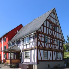
Schloßstraße 18
7.1 km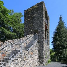
Historische Stadtummauerung
7 km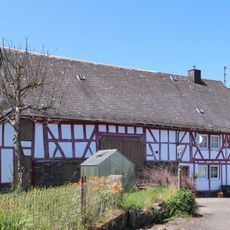
Adolf-Weiß-Straße 11/13
5.9 km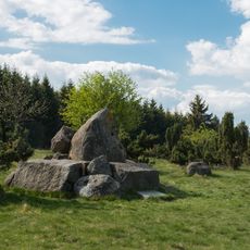
Krombachtalsperre
4.7 km
Gemeindehaus
6.9 kmVisited this place? Tap the stars to rate it and share your experience / photos with the community! Try now! You can cancel it anytime.
Discover hidden gems everywhere you go!
From secret cafés to breathtaking viewpoints, skip the crowded tourist spots and find places that match your style. Our app makes it easy with voice search, smart filtering, route optimization, and insider tips from travelers worldwide. Download now for the complete mobile experience.

A unique approach to discovering new places❞
— Le Figaro
All the places worth exploring❞
— France Info
A tailor-made excursion in just a few clicks❞
— 20 Minutes