Enable Location

We need your location to show you interesting places around you

Discover nearby places

Find interesting locations and hidden gems around you

Precise directions

Get accurate directions and distances to places

Your location is never shared with other users. It's only used when you tap the location button.

Log in to your account

Start exploring — it's free

Trusted by 62,830 travelers worldwide

Continue with Google
Continue with Apple
or

We will send you a code to connect

By continuing, you accept our Terms and Conditions and our Privacy Policy

Check your inbox

We've sent a pincode in your inbox. Please enter the code below.

An der Finne

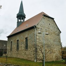
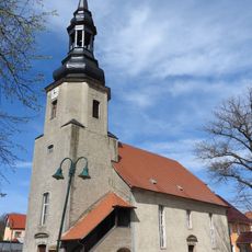
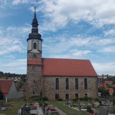
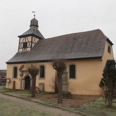
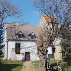
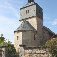
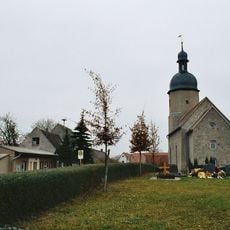
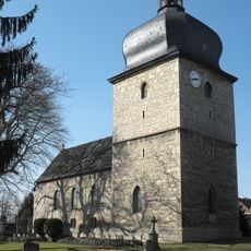
An der Finne, Administrative region in Burgenlandkreis, Germany

An der Finne is an administrative union of municipalities in Saxony-Anhalt with Bad Bibra as its administrative hub. The region comprises seven member communities spread across rolling countryside with around 11,300 residents living across the combined territory.

The area became the first Verbandsgemeinde in Saxony-Anhalt through a local government reform in 2009, transforming from a previous administrative arrangement. This restructuring modernized how municipal services were organized across the member communities.

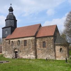
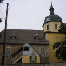
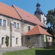
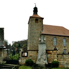
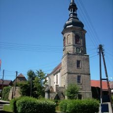
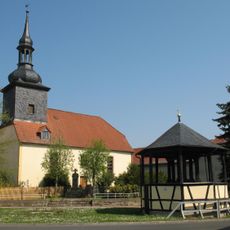
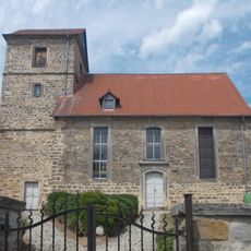
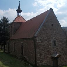
The region takes its name from the Finne hills, a natural ridge that shapes how local communities define themselves geographically. This landscape feature has influenced settlement patterns and how residents relate to their surroundings for centuries.

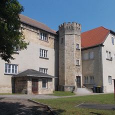
The administrative office is located in Bad Bibra and serves residents from all member communities. Visitors needing information or municipal services will find the headquarters centrally positioned and easily accessible.

Since 2011, the municipality has maintained a partnership with Saint-André-de-l'Eure in Normandy, creating a cross-border connection between the two regions. This relationship demonstrates how local communities can build lasting ties across national boundaries.

The community of curious travelers

AroundUs brings together thousands of curated places, local tips, and hidden gems, enriched daily by 60,000 contributors worldwide.

Start exploring
Location
GPS coordinates
51.20000,11.56667
Latest update
December 12, 2025 09:08
« An der Finne - Administrative region in Burgenlandkreis, Germany » is provided by Around Us (aroundus.com). Images and texts are derived from Wikimedia project under a Creative Commons license. You are allowed to copy, distribute, and modify copies of this page, under the conditions set by the license, as long as this note is clearly visible.

Discover hidden gems everywhere you go!

From secret cafés to breathtaking viewpoints, skip the crowded tourist spots and find places that match your style. Our app makes it easy with voice search, smart filtering, route optimization, and insider tips from travelers worldwide. Download now for the complete mobile experience.

Around Us App Screenshot

A unique approach to discovering new places

Le Figaro

All the places worth exploring

France Info

A tailor-made excursion in just a few clicks

20 Minutes

Around Us
Travel Guide & Maps
Download

Send to your phone

QR Code
1

Open the camera app on your mobile.

2

Point at the QR code with your camera. A notification will appear.

3

Tap the notification to open the link.