Obernkirchen, municipality of Germany
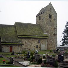
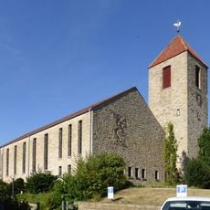
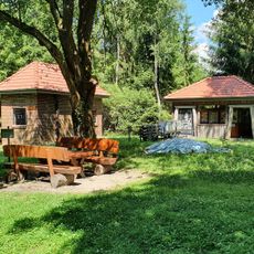
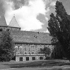
Obernkirchen is a small town in the Schaumburg district of Lower Saxony, situated on a hill and known for its sandstone quarry. The center features old buildings with dark wooden beams and white walls set along narrow streets, alongside more modern structures.
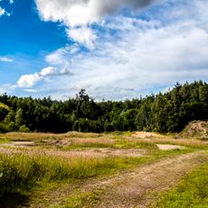
The town developed as people settled to work in the mining areas of the region. Sandstone extraction shaped the growth of Obernkirchen over centuries, and traces of this industry remain visible in the landscape and local stories today.
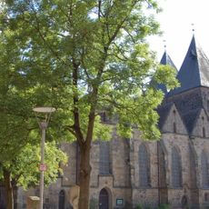
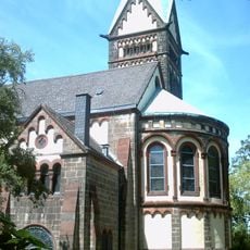
The name Obernkirchen comes from old words meaning "upper church", referring to St. Mauretius standing on the hill above. This church has long served as the heart of the community and remains a central landmark for residents and visitors.
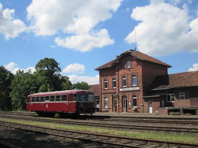
The town is easily reached by train from larger cities like Hanover or Minden. Once there, it is best explored on foot or by bicycle, as distances are short and the place is designed for leisurely walking.
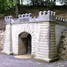
Sandstone from Obernkirchen was used for important structures like castles and churches throughout the region and has a distinctive color and texture. The quarry still operates on certain days today, showing how the town's past continues to shape its present.
The community of curious travelers
AroundUs brings together thousands of curated places, local tips, and hidden gems, enriched daily by 60,000 contributors worldwide.