
Prisdorf, municipality of Germany
Location: Pinneberg
Elevation above the sea: 6 m
Website: http://www.amt-pinnau.de/index.phtml?sNavID=1785.21
Shares border with: Kummerfeld, Tornesch
Website: http://amt-pinnau.de/index.phtml?sNavID=1785.21
GPS coordinates: 53.67722,9.76083
Latest update: March 16, 2025 11:36

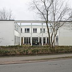
ILO-Motorenwerke
3.1 km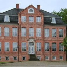
Drostei
3 km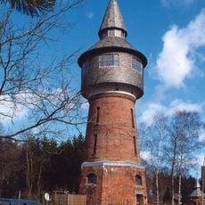
Wasserturm Pinneberg
2.1 km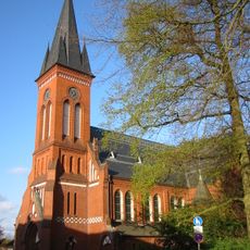
Christuskirche (Pinneberg)
3.4 km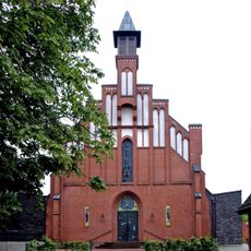
St. Michael
3.3 km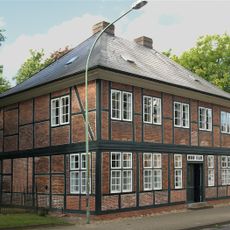
Samland museum
3.4 km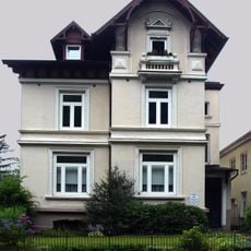
Bahnhofstraße 7
3.4 km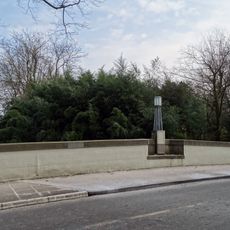
Schüttenberg bridge
2.8 km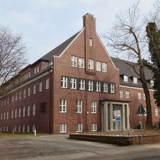
Moltkestraße 10
3.2 km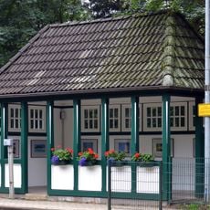
Bahnwartehäuschen
210 m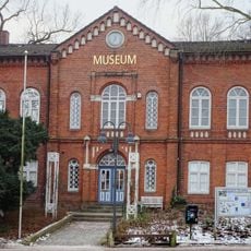
Stadtmuseum Pinneberg
2.9 km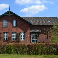
Ehemalige Schule Ahrenlohe
3.7 km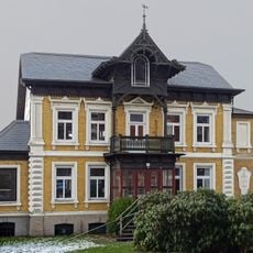
Villa Warncke
3 km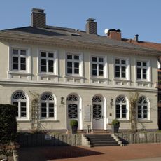
Bahnhofstraße 9–11
3.4 km
Lindenstraße 17
3.2 km
Anlage des Wasserturms Pinneberg
2.1 km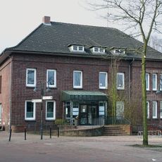
Dingstätte 27
2.9 km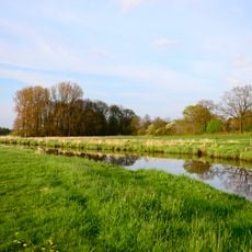
Mittlere Pinnau
2.2 km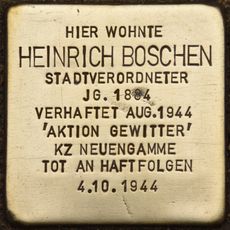
Stolperstein dedicated to Heinrich Boschen
3.4 km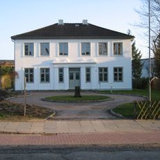
Rübekamp 33
2.8 km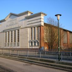
Rübekamp 35
2.8 km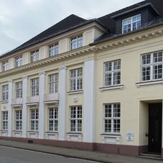
Ehemalige Kreissparkasse
3.1 km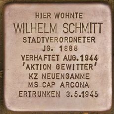
Stolperstein dedicated to Wilhelm Schmitt
2.4 km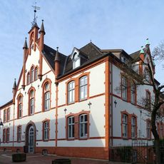
Ehemaliges Kreishaus
2.9 km
Riedweg 3
2.5 km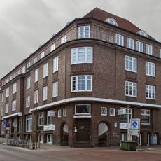
Ehemaliges Zinshaus
3.3 km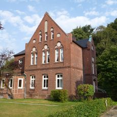
Bahnhofstraße 4
3.3 km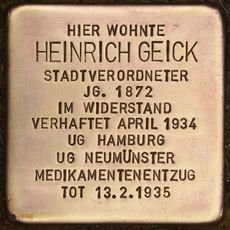
Stolperstein dedicated to Heinrich Geick
2.6 kmReviews
Visited this place? Tap the stars to rate it and share your experience / photos with the community! Try now! You can cancel it anytime.
Discover hidden gems everywhere you go!
From secret cafés to breathtaking viewpoints, skip the crowded tourist spots and find places that match your style. Our app makes it easy with voice search, smart filtering, route optimization, and insider tips from travelers worldwide. Download now for the complete mobile experience.

A unique approach to discovering new places❞
— Le Figaro
All the places worth exploring❞
— France Info
A tailor-made excursion in just a few clicks❞
— 20 Minutes