
Mittlere Pinnau, protected landscape area in Schleswig-Holstein, Germany
Location: Pinneberg
Inception: 1969
GPS coordinates: 53.67230,9.72857
Latest update: March 3, 2025 02:06

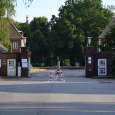
Jürgen-Schumann-Kaserne
2.4 km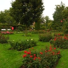
Rosarium Uetersen
4.1 km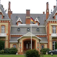
Schloss Düneck
4.1 km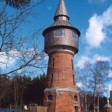
Wasserturm Pinneberg
3.8 km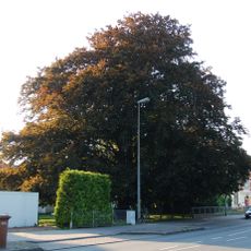
Uetersener Blutbuche
4.5 km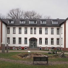
Hamburger Arbeiterkolonie Schäferhof
2.7 km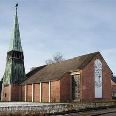
Tornescher Kirche
3 km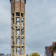
Wasserturm Uetersen
3.6 km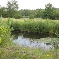
Tävsmoor / Haselauer Moor
4 km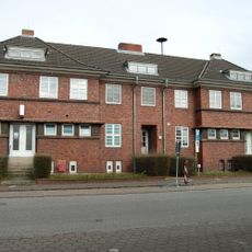
Kleiner Sand 51 – 53
4.2 km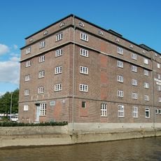
Bauernmühle Uetersen
3.5 km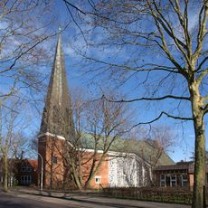
Erlöserkirche
3.3 km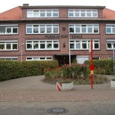
Friedrich-Ebert-Schule
3.9 km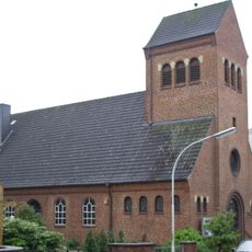
Christkönigskirche
3.6 km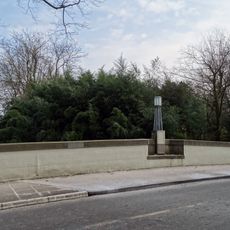
Schüttenberg bridge
4.6 km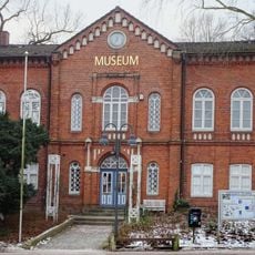
Stadtmuseum Pinneberg
4.6 km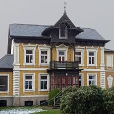
Villa Warncke
4.6 km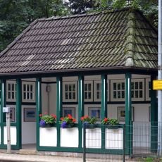
Bahnwartehäuschen
2.1 km
Anlage des Wasserturms Pinneberg
3.8 km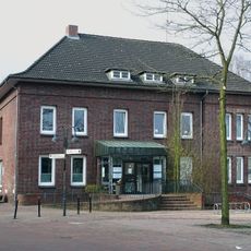
Dingstätte 27
4.6 km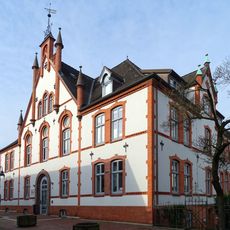
Ehemaliges Kreishaus
4.6 km
Rübekamp 33
4.4 km
Rübekamp 35
4.4 km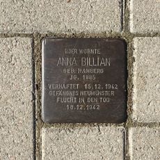
Stolperstein dedicated to Anna Billian
3.5 km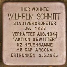
Stolperstein dedicated to Wilhelm Schmitt
4.2 km
Riedweg 3
1.4 km
Gärtnerhaus
4.1 km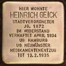
Stolperstein dedicated to Heinrich Geick
4.5 kmReviews
Visited this place? Tap the stars to rate it and share your experience / photos with the community! Try now! You can cancel it anytime.
Discover hidden gems everywhere you go!
From secret cafés to breathtaking viewpoints, skip the crowded tourist spots and find places that match your style. Our app makes it easy with voice search, smart filtering, route optimization, and insider tips from travelers worldwide. Download now for the complete mobile experience.

A unique approach to discovering new places❞
— Le Figaro
All the places worth exploring❞
— France Info
A tailor-made excursion in just a few clicks❞
— 20 Minutes