
Freckenfeld, municipality of Germany
Location: Kandel
Location: Germersheim
Elevation above the sea: 127 m
Shares border with: Wörth am Rhein, Vollmersweiler
Website: http://freckenfeld.de
GPS coordinates: 49.06472,8.11389
Latest update: March 3, 2025 11:13

Herxheim
56.7 km
Schloss Bergzabern
9.4 km
Winden (Pfalz) station
3.5 km
Bad Bergzabern station
9.2 km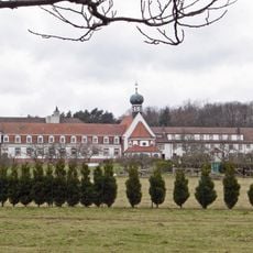
Kloster Liebfrauenberg
10.4 km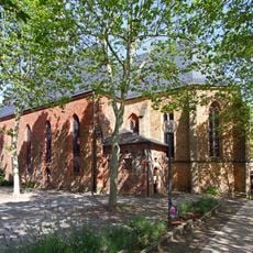
Market church (Bad Bergzabern)
9.5 km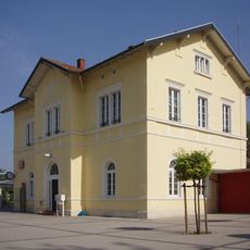
Kandel station
6.3 km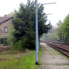
Rohrbach (Pfalz)
8.4 km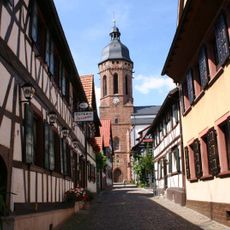
St. Georg (Kandel)
6.1 km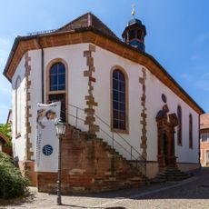
Bergkirche (Bad Bergzabern)
9.5 km
Château Saint-Rémy d'Altenstadt
9.6 km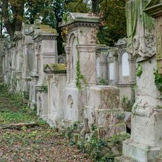
Jüdischer Friedhof
8.3 km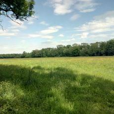
Bruchbach-Otterbachniederung
1.8 km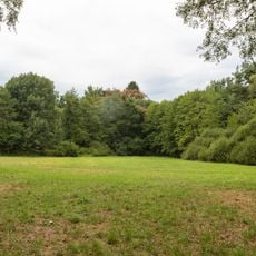
Lauterniederung
7.3 km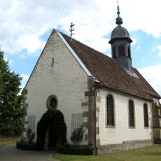
Protestantische Kirche
3.7 km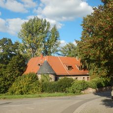
Ochsensteiner Schloss
9.9 km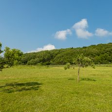
Haardtrand - Steinbühl
10.1 km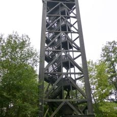
Bad Bergzabern Observation Tower
10.1 km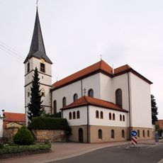
St. Wendelin (Hatzenbühl)
10.7 km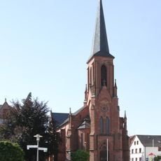
Parish church St. Martin
9.5 km
Saint Laurentius
9.3 km
St. Laurentius (Minfeld)
2 km
Protestant Church (Impflingen)
11 km
Protestantische Kirche
8.3 km
St. Dionysius
10.5 km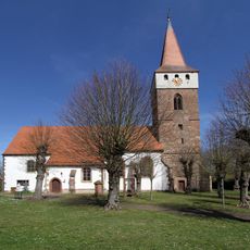
Evangelische Pfarrkirche (Minfeld)
2 km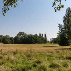
Erlenbach und Klingbach
7.4 km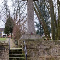
Kriegsgräberstätte
9 kmReviews
Visited this place? Tap the stars to rate it and share your experience / photos with the community! Try now! You can cancel it anytime.
Discover hidden gems everywhere you go!
From secret cafés to breathtaking viewpoints, skip the crowded tourist spots and find places that match your style. Our app makes it easy with voice search, smart filtering, route optimization, and insider tips from travelers worldwide. Download now for the complete mobile experience.

A unique approach to discovering new places❞
— Le Figaro
All the places worth exploring❞
— France Info
A tailor-made excursion in just a few clicks❞
— 20 Minutes