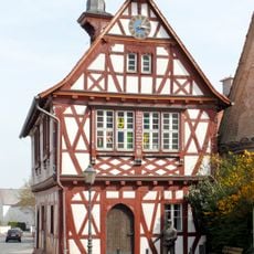
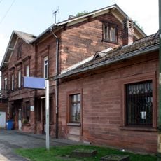
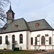
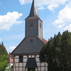
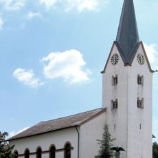
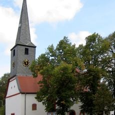
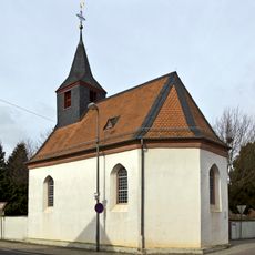
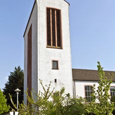
Büttelborn, Municipality in Groß-Gerau district, Germany.
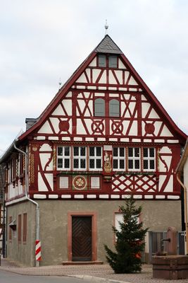
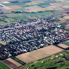
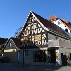
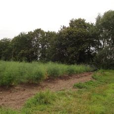
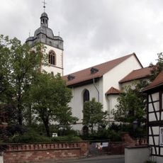
Büttelborn is a municipality in the Groß-Gerau district and consists of three separate communities: central Büttelborn, Klein-Gerau, and Worfelden. The area lies at about 91 meters above sea level and contains residential areas, farmland, and small local centers.
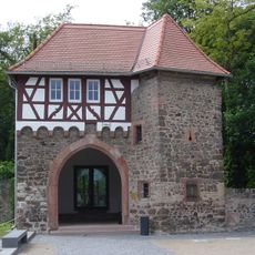
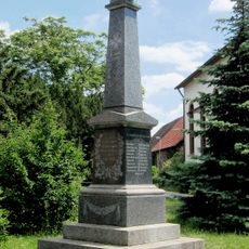
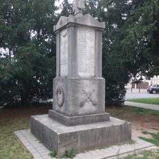
The area was first documented in 1222 as Butelbrunne and came under the rule of the Counts of Katzenelnbogen in 1257. Later, around 1479, the territory became part of Hesse and remained connected to the region from then on.
The three communities each hold their own festivals and markets throughout the year, showing how residents maintain their local ties and traditions. These gatherings bring people together to celebrate and keep customs alive across the different districts.
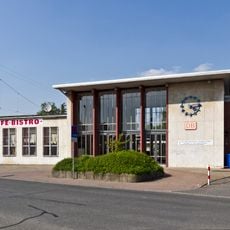
The location is close to Autobahn A67 and Bundesstraße B42, making it easy to reach by car from major routes. Klein-Gerau also has a railway station, offering convenient access for those traveling by train.
What makes it distinctive is how the municipality brings together three independent villages under one administration, each keeping its own identity and character. This unusual arrangement allows residents to maintain strong local connections while sharing common services and governance.
Location: Groß-Gerau
Elevation above the sea: 91 m
Shares border with: Mörfelden-Walldorf, Groß-Gerau
Website: https://buettelborn.de
GPS coordinates: 49.90222,8.51375
Latest update: December 7, 2025 20:25
Worfelden
3.9 km
Schloss Dornberg
2.1 km
Groß Gerau station
3.2 km
Berkach
2.2 km
Bahnhof Weiterstadt
4.8 km
Water Tower Groß-Gerau
2.2 km
Pipe organs in Worfelden
180 m
Evangelische Kirche Büttelborn
157 m
Löserbecken von Weiterstadt
3.9 km
Evangelische Kirche Worfelden
3.6 km
Protestant Church (Gräfenhausen, Weiterstadt)
6.9 km
Protestant Church
4.9 km
Friedhof Griesheim
5.3 km
Hohe Brücke
3.4 km
Evangelische Kapelle Berkach
2.3 km
Kriegerdenkmal
6.9 km
Schlossteich auf der Braunshardter Weide
5.7 km
Kriegerdenkmal (Gräfenhausen, Weiterstadt)
6.9 km
Entenpfuhl bei Weiterstadt
3.7 km
Darmstädter Landstraße 13
6.8 km
Vogelschutzbrutstätte Ewigerstumpf
5.5 km
Naturschutzgebiet Teich am Braunshardter Tännchen
2.3 km
Sauergrund
5.6 km
NSG Löserbecken von Weiterstadt
3.9 km
Evangelische Stadtkirche Groß-Gerau
3 km
St. Walburga
3.4 km
Wald bei Groß-Gerau
5.5 km
Naturschutzgebiet Bruchwiesen bei Büttelborn
1.1 kmVisited this place? Tap the stars to rate it and share your experience / photos with the community! Try now! You can cancel it anytime.
Discover hidden gems everywhere you go!
From secret cafés to breathtaking viewpoints, skip the crowded tourist spots and find places that match your style. Our app makes it easy with voice search, smart filtering, route optimization, and insider tips from travelers worldwide. Download now for the complete mobile experience.
A unique approach to discovering new places❞
— Le Figaro
All the places worth exploring❞
— France Info
A tailor-made excursion in just a few clicks❞
— 20 Minutes