
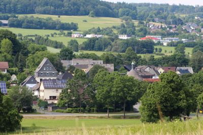
Waldmühlen, municipality of Germany
Location: Westerwaldkreis
Elevation above the sea: 405 m
Website: http://rennerod.de
GPS coordinates: 50.58722,8.06361
Latest update: April 7, 2025 20:31
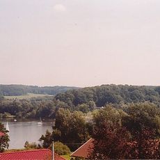
Wiesensee
4.9 km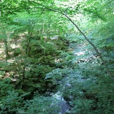
Holzbachdurchbruch
3.4 km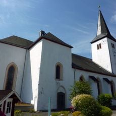
St. Severus
4.7 km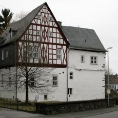
Hofhaus Langendernbach
5.4 km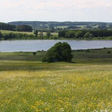
Breitenbachtalsperre
5.7 km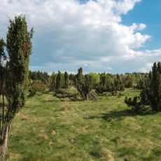
Wacholderheide Westernohe
4 km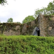
Klosteruine Seligenstatt
1.6 km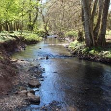
Seebachtal
3.9 km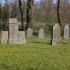
Jüdischer Friedhof
6 km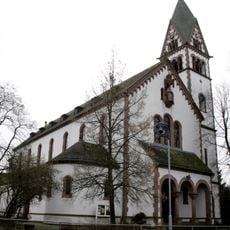
St. Matthias
5.5 km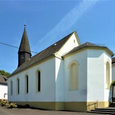
Holy Cross Church
4.8 km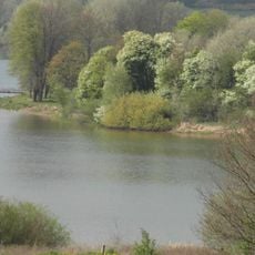
Secker Weiher - Wiesensee
6.3 km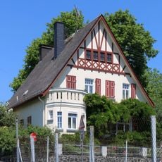
Lansdtilhaus
5.4 km
Gemündener Straße 2/6
5.4 km
Bahnhofstraße 14
5.4 km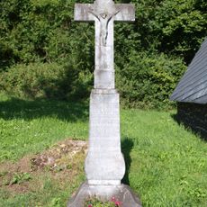
Wegekreuz (Wandererkreuz)an der Straße nach Elsoff
6.1 km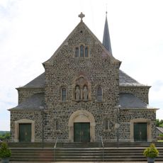
St. Peter und Paul
4.2 km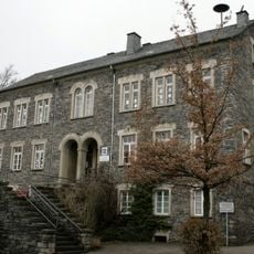
Ehem. Volksschule
5.5 km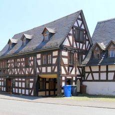
Bahnhofstraße 19
5.4 km
Bahnhofstraße 26
5.5 km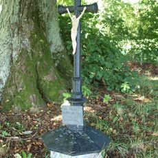
Gedenkkreuz (Baums Kreuz) oberhalb des Ortes, Richtung Elsoff
6.6 km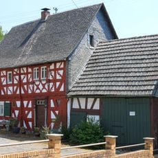
Heepengasse 5
5.6 km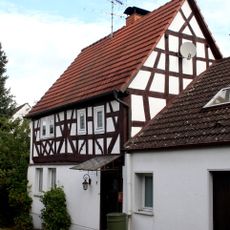
Im Kloster 7
5.5 km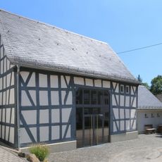
Ehemaliger Streckhof
5.5 km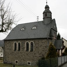
Evangelische Kirche Langendernbach
5.7 km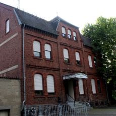
Bahnhofstraße 79
6.6 km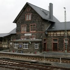
Bahnhofsgebäude
6.6 km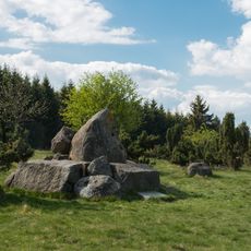
Krombachtalsperre
4.5 kmReviews
Visited this place? Tap the stars to rate it and share your experience / photos with the community! Try now! You can cancel it anytime.
Discover hidden gems everywhere you go!
From secret cafés to breathtaking viewpoints, skip the crowded tourist spots and find places that match your style. Our app makes it easy with voice search, smart filtering, route optimization, and insider tips from travelers worldwide. Download now for the complete mobile experience.

A unique approach to discovering new places❞
— Le Figaro
All the places worth exploring❞
— France Info
A tailor-made excursion in just a few clicks❞
— 20 Minutes