
Birken-Honigsessen, municipality of Germany
Location: Altenkirchen district
Elevation above the sea: 253 m
Website: http://wissen.eu
GPS coordinates: 50.81944,7.74139
Latest update: March 16, 2025 23:04
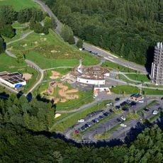
Panarbora Park
10.5 km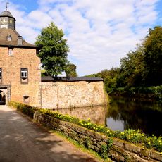
Castle Crottorf
9.1 km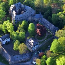
Schloss Schönstein
4.8 km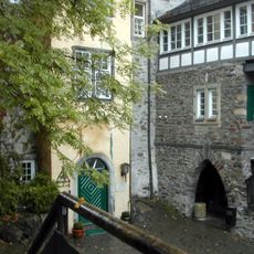
Freusburg
9.9 km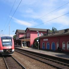
Au station
7.8 km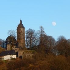
Burg Wildenburg
11.9 km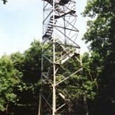
Ottoturm
11.4 km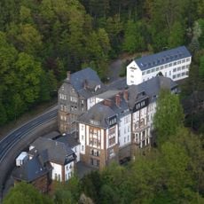
Auguste-Viktoria-Stift
8.6 km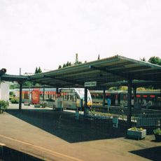
Betzdorf (Sieg) station
9.6 km
Burg Mauel
10.1 km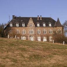
Volperhausen Castle
3.1 km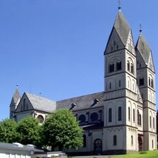
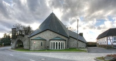
St. Mauritius
10.5 km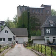
Freusburger Mühle
9.8 km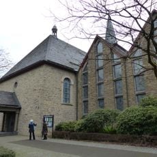
Saint Michael Church (Waldbröl)
10.8 km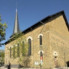
Evangelische Kirche Waldbröl
10.7 km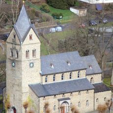
St. Gertrud (Morsbach)
5.3 km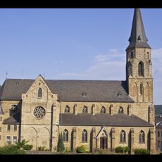
St. Ignatius
9.9 km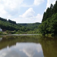
Asdorfer Weiher
11 km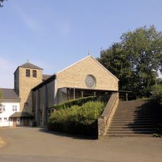
Herz Mariä
3.6 km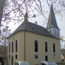
Salvatorkirche (Rosbach)
9.5 km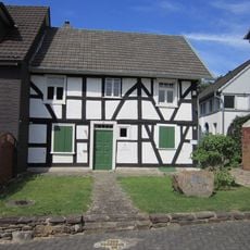
Gedenkstätte 'Landjuden an der Sieg'
9.4 km
Heimatmuseum Kirchen
10.2 km
Graureiher-Kolonie
5.1 km
Rödersche
11.7 km
Plittersche
11.4 km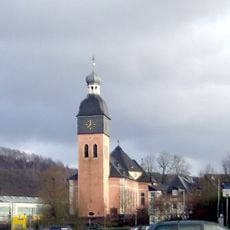
Kreuzerhöhungskirche
4.1 km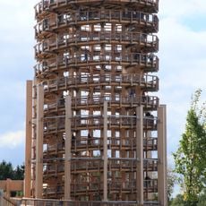
Panarbora tower
10.5 km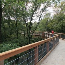
Panarbora canopy walkway
10.4 kmReviews
Visited this place? Tap the stars to rate it and share your experience / photos with the community! Try now! You can cancel it anytime.
Discover hidden gems everywhere you go!
From secret cafés to breathtaking viewpoints, skip the crowded tourist spots and find places that match your style. Our app makes it easy with voice search, smart filtering, route optimization, and insider tips from travelers worldwide. Download now for the complete mobile experience.

A unique approach to discovering new places❞
— Le Figaro
All the places worth exploring❞
— France Info
A tailor-made excursion in just a few clicks❞
— 20 Minutes