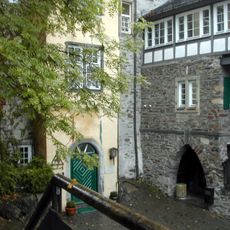
Altenkirchen district, Administrative district in Rhineland-Palatinate, Germany.
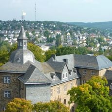
Altenkirchen district is an administrative region in northern Rhineland-Palatinate that borders North Rhine-Westphalia, with rivers, valleys, and hilly terrain throughout. It consists of several towns and municipalities centered around the district capital Altenkirchen.
The region was established in 1816 under Prussian rule, uniting the county of Wildenburg with two counties from Sayn in the Westerwald area. This merger created the foundation for today's administrative structure.
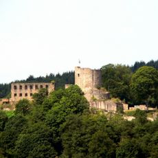
The coat of arms displays symbols from the region, including the Sayn lion and marks from the Cologne and Trier bishoprics, which held sway here for centuries. These emblems tell of the different powers that shaped the area.
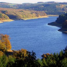
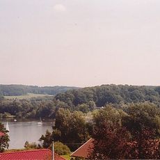
The region is bounded by rivers, with the Sieg river forming the northern boundary and shaping how the area connects to surrounding regions. The Westerwald mountains create natural barriers that influence travel routes across the district.
The Sieg river marks the boundary, but it also served historically as a key trade route between regions, shaping how settlements developed here. The role these waterways played in connecting communities is often overlooked.
The community of curious travelers
AroundUs brings together thousands of curated places, local tips, and hidden gems, enriched daily by 60,000 contributors worldwide.