Enable Location

We need your location to show you interesting places around you

Discover nearby places

Find interesting locations and hidden gems around you

Precise directions

Get accurate directions and distances to places

Your location is never shared with other users. It's only used when you tap the location button.

Stegskopf

Log in to your account

Start exploring — it's free

Trusted by 62,900 travelers worldwide

Continue with Google
Continue with Apple
or

We will send you a code to connect

By continuing, you accept our Terms and Conditions and our Privacy Policy

Check your inbox

We've sent a pincode in your inbox. Please enter the code below.

Stegskopf
Discussion Reviews 1 Photos
4.9k Popularity

Stegskopf, Summit in Rhineland-Palatinate, Germany

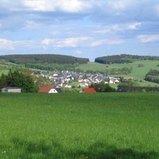
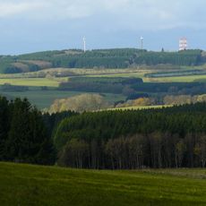
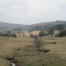
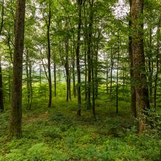
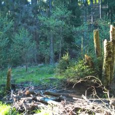
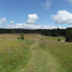
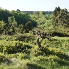
Stegskopf is a mountain in the Westerwald range reaching about 654 meters, making it the second highest peak in this chain. Dense pine forests cover the slopes and create a closed, natural character across the terrain.

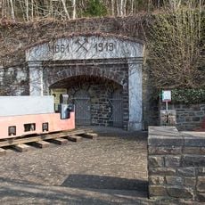
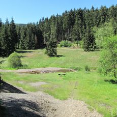
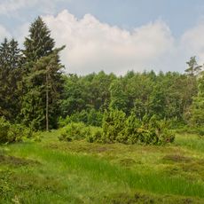
From 1914 to 2015, the northern area served as a military training ground, first hosting radar units and later the German Armed Forces. After World War Two, this zone remained in military use for decades before finally being released to civilian access.

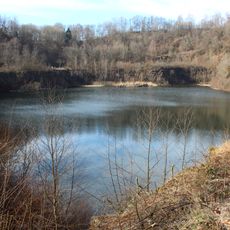
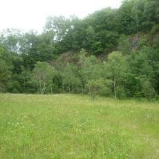
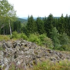
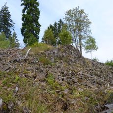
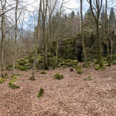
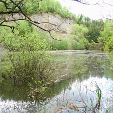
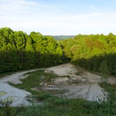
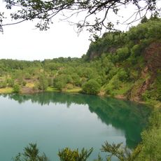
The quarries scattered across the area once supplied stone for local construction and industry. These abandoned pits are now part of the landscape that people explore when walking through the region.

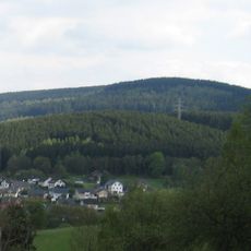
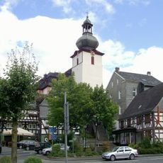
Several hiking trails connect the summit to the nearby village of Emmerzhausen, offering different starting points and routes. Paths are accessible year-round and suit walks during most seasons without special requirements.

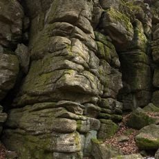
The mountain formed from extinct volcanic activity, and the underlying geology still shows signs of this ancient origin. Dense forests now conceal this volcanic past from casual view, yet the ground beneath reveals what the landscape once was.

The community of curious travelers

AroundUs brings together thousands of curated places, local tips, and hidden gems, enriched daily by 60,000 contributors worldwide.

Start exploring
Elevation above the sea
654.4 m
GPS coordinates
50.70180,8.02387
Latest update
December 10, 2025 20:01
« Stegskopf - Summit in Rhineland-Palatinate, Germany » is provided by Around Us (aroundus.com). Images and texts are derived from Wikimedia project under a Creative Commons license. You are allowed to copy, distribute, and modify copies of this page, under the conditions set by the license, as long as this note is clearly visible.

Discover hidden gems everywhere you go!

From secret cafés to breathtaking viewpoints, skip the crowded tourist spots and find places that match your style. Our app makes it easy with voice search, smart filtering, route optimization, and insider tips from travelers worldwide. Download now for the complete mobile experience.

Around Us App Screenshot

A unique approach to discovering new places

Le Figaro

All the places worth exploring

France Info

A tailor-made excursion in just a few clicks

20 Minutes

Around Us
Travel Guide & Maps
Download

Send to your phone

QR Code
1

Open the camera app on your mobile.

2

Point at the QR code with your camera. A notification will appear.

3

Tap the notification to open the link.