
Lindig, municipality of Germany
Location: Saale-Holzland-Kreis
Elevation above the sea: 260 m
Website: http://vg-suedliches-saaletal.de
GPS coordinates: 50.78912,11.60063
Latest update: March 2, 2025 20:02
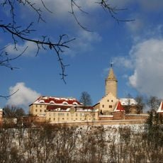
Leuchtenburg Castle
1.8 km
Neues Jagdschloss Hummelshain
2.9 km
Walpersberg
3.4 km
Museum Leuchtenburg
1.9 km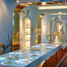
Porzellanwelten Leuchtenburg
1.9 km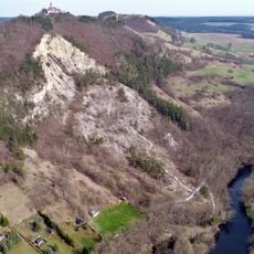
Dohlenstein
1.8 km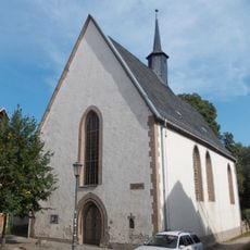
St. Nikolaus
1.6 km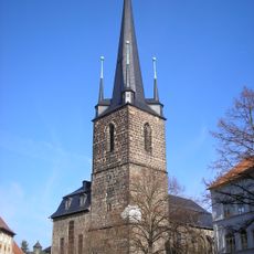
Stadtkirche St. Margarethen
1.9 km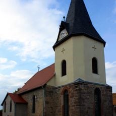
Dorfkirche Schmölln
1.6 km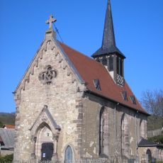
Dorfkirche Löbschütz
1.1 km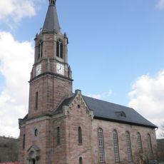
St. Nikolaus
4.9 km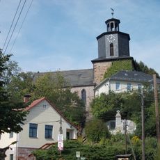
St. Georg (Großeutersdorf)
2.6 km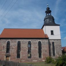
St. Peter und Paulus (Kleineutersdorf)
1.7 km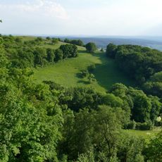
Dohlenstein und Pfaffenberg
1.8 km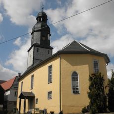
Dorfkirche Seitenroda
2.1 km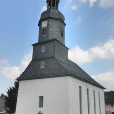
Dorfkirche Oberbodnitz
4.8 km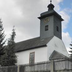
Dorfkirche Seitenbrück
3.5 km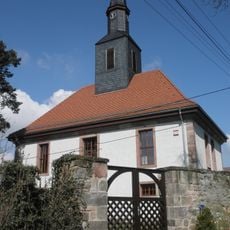
Protestant Church Jägersdorf
5 km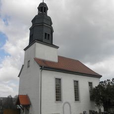
Protestant Church (Großpürschütz)
3.6 km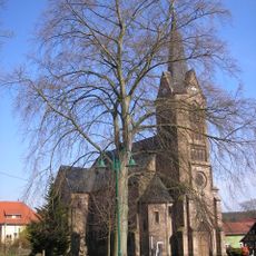
St. John the Baptist Church
3.1 km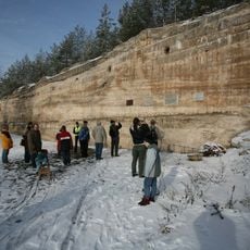
Dokumentationszentrum REIMAHG
2.6 km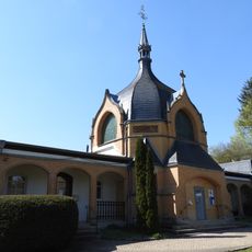
Cemetery Chapel Kahla
2.1 km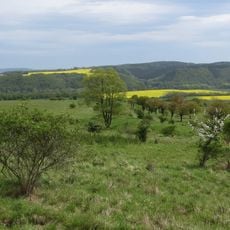
Landschaftsschutzgebiet Saaletal in den Fluren Göschwitz bis Kahla
4.5 km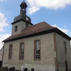
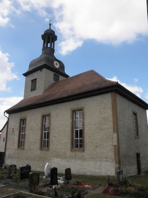
St. Ursula (Lindig)
21 m
Dohlenstein und Pfaffenberg
1.8 km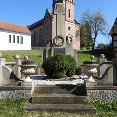
War memorial Unterbodnitz
4.9 km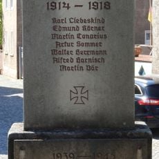
War memorial Jägersdorf
4.9 km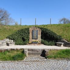
War memorial Kleinpürschütz
3.9 kmVisited this place? Tap the stars to rate it and share your experience / photos with the community! Try now! You can cancel it anytime.
Discover hidden gems everywhere you go!
From secret cafés to breathtaking viewpoints, skip the crowded tourist spots and find places that match your style. Our app makes it easy with voice search, smart filtering, route optimization, and insider tips from travelers worldwide. Download now for the complete mobile experience.

A unique approach to discovering new places❞
— Le Figaro
All the places worth exploring❞
— France Info
A tailor-made excursion in just a few clicks❞
— 20 Minutes