Dohlenstein, Mountain summit in Seitenroda, Germany
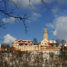
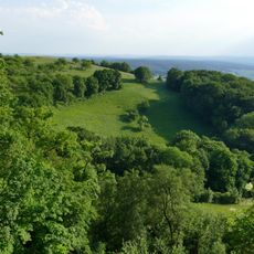
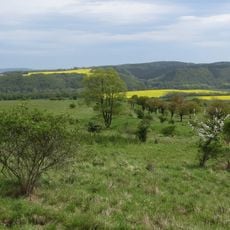
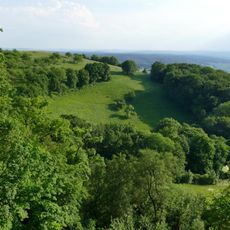
Dohlenstein is a mountain summit near Seitenroda that rises to approximately 366 meters and can be reached by established hiking trails. The top offers views across the Saale valley with its gentle slopes and surrounding forested landscape.
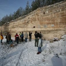
Dohlenstein's northwest face above the Saale was planted as a vineyard around 1350. Major landslides are recorded for 1740, 1780, 1828, 1881 and 1920; the largest, in summer 1780, reached the valley floor and forced the Saale into a new bed. In prehistoric times the mountain was settled by people of the Osterländische group of the Lusatian culture.
The name Dohlenstein refers to the jackdaws (Dohlen) that gave the crag its name. In prehistoric times the mountain was settled by people of the Osterländische Gruppe of the Lusatian culture. Today the hill lies within the nature reserve "Dohlenstein und Pfaffenberg" and is designated a geotope.
Hiking to the summit requires sturdy footwear and careful attention to marked paths, particularly where slopes steepen. Conditions are best during drier months when the trails are in good shape for walking.
The Dohlenstein was the second 3D model presented under the DGGV's 30-Geotope³ initiative. Its northwest face is a near-vertical cliff up to 40 m high, left by landslides recorded in 1740, 1780, 1828, 1881 and 1920; the 1780 collapse reached the valley floor and forced the Saale into a new bed.
The community of curious travelers
AroundUs brings together thousands of curated places, local tips, and hidden gems, enriched daily by 92,726 contributors worldwide.