
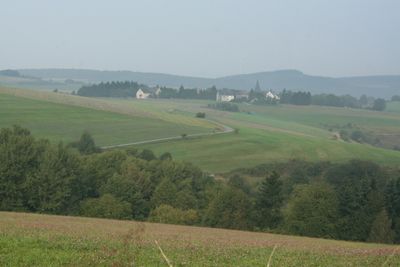
Berglicht, municipality of Germany
Location: Bernkastel-Wittlich
Elevation above the sea: 390 m
Website: https://www.berglicht.de/
Website: https://berglicht.de
GPS coordinates: 49.78833,6.96639
Latest update: March 21, 2025 11:53
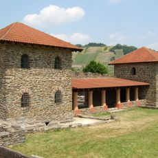
Villa rustica of Mehring
9.5 km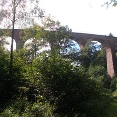
Hoxeler Viadukt
9.1 km
Dhrontalsperre
4.8 km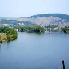
Staustufe Detzem
9.1 km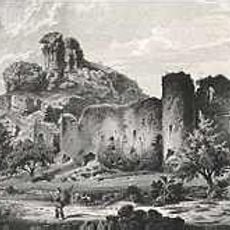
Burg Hunolstein
5.7 km
Burg Dhronecken
7.1 km
Minheimer Kreuz
8.3 km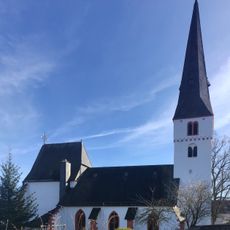
Protestant Church (Thalfang)
4.3 km
Wasserburg Klüsserath
9.9 km
Saint Clemens Church (Trittenheim)
6.1 km
Walholzkirche
6.7 km
Moselbrücke Neumagen-Dhron
9.4 km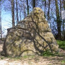
Hinkelstein
8.2 km
Saint Lawrence Chapel
6.7 km
Bahnhof Dhronecken
7.1 km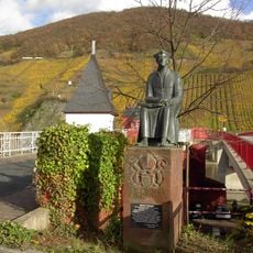
Standbild des Johannes Trithemius
5.9 km
Ferry tower, Mehring
10 km
Synagogue
6.9 km
Nikolauskapelle
10.1 km
St. Peter und Paul
9.7 km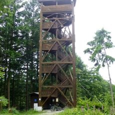
Fünf-Seen-Blick
7.8 km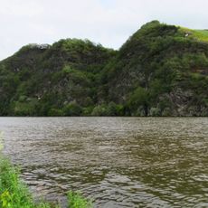
Moselloreley
10 km
Alsberg
8.5 km
Saint John the Baptist Church
8.9 km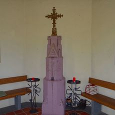
Pestkapelle
9.8 km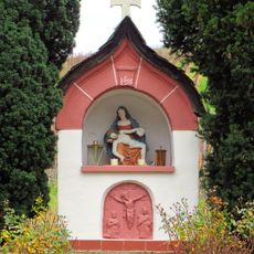
Minheimer Kapellchen
9.2 km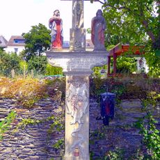
Frantzenkreuz
8.9 km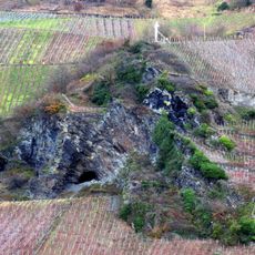
Geierskopf (Wintrich)
9.5 kmReviews
Visited this place? Tap the stars to rate it and share your experience / photos with the community! Try now! You can cancel it anytime.
Discover hidden gems everywhere you go!
From secret cafés to breathtaking viewpoints, skip the crowded tourist spots and find places that match your style. Our app makes it easy with voice search, smart filtering, route optimization, and insider tips from travelers worldwide. Download now for the complete mobile experience.

A unique approach to discovering new places❞
— Le Figaro
All the places worth exploring❞
— France Info
A tailor-made excursion in just a few clicks❞
— 20 Minutes