
Hohes Kreuz, municipality of Germany
Location: Eichsfeld
Elevation above the sea: 347 m
Website: http://vg-leinetal.de/html/mitgliedsgemeinden/index_gemeinden.htm
GPS coordinates: 51.42528,10.09333
Latest update: March 2, 2025 23:17
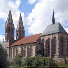
St. Marien
6 km
Mainzer Schloss
5.9 km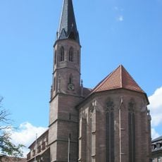
St.-Martin-Kirche Heilbad Heiligenstadt
5.9 km
Aegidienkirche Heilbad Heiligenstadt
6.2 km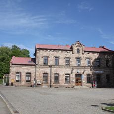
Heilbad Heiligenstadt station
5.8 km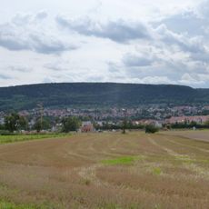
Iberg (Heiligenstadt)
7.2 km
Bergkloster Heiligenstadt
5.9 km
Redemptoristenkloster Heiligenstadt
6.8 km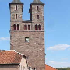
St. Nikolaus
2 km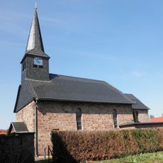
St. Georg (Burgwalde)
5.4 km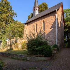
St. Nikolaus
6.2 km
Heiligenstadt Ost railway station
6.9 km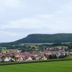
Elisabethhöhe
7 km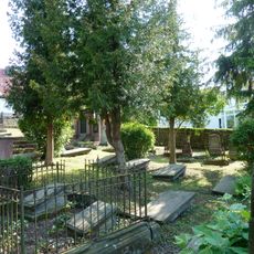
Jüdischer Friedhof Heilbad Heiligenstadt
6.5 km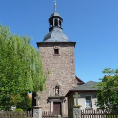
St. Johannes der Täufer
2.9 km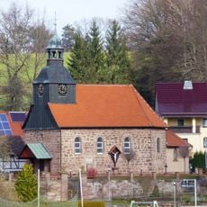
St. Magnus (Schachtebich)
3.9 km
St. Petrus in Ketten
7 km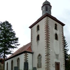
Martinikirche
2.5 km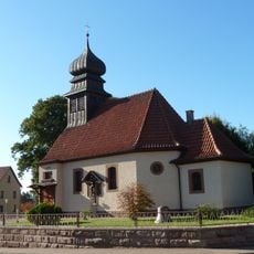
St. Alban
5.3 km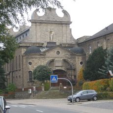
St. Gerhard (Heilbad Heiligenstadt)
6.8 km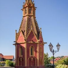
St. Anna (Heilbad Heiligenstadt)
6 km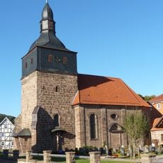
St. Johannes (Rengelrode)
5.2 km
Eichsfelder Kulturhaus
6.5 km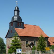
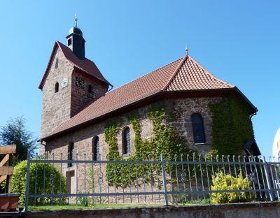
St. Matthias (Bischhagen)
107 m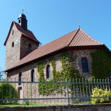
St. Maria Magdalena (Mengelrode)
2.8 km
St. Johannes Evangelist (Streitholz)
1.3 km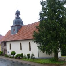
St. Johannes (Glasehausen)
4.6 km
Literaturmuseum "Theodor Storm"
6 kmVisited this place? Tap the stars to rate it and share your experience / photos with the community! Try now! You can cancel it anytime.
Discover hidden gems everywhere you go!
From secret cafés to breathtaking viewpoints, skip the crowded tourist spots and find places that match your style. Our app makes it easy with voice search, smart filtering, route optimization, and insider tips from travelers worldwide. Download now for the complete mobile experience.

A unique approach to discovering new places❞
— Le Figaro
All the places worth exploring❞
— France Info
A tailor-made excursion in just a few clicks❞
— 20 Minutes