
Freienhagen, municipality of Germany
Location: Eichsfeld
Elevation above the sea: 305 m
Website: http://vg-hanstein-rusteberg.de
GPS coordinates: 51.41420,10.05621
Latest update: March 16, 2025 23:26
Akademie Waldschlösschen
5.7 km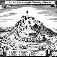
Burgruine Rusteberg
4.8 km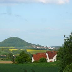
Rusteberg
4.8 km
Gasthof Jütte
4.3 km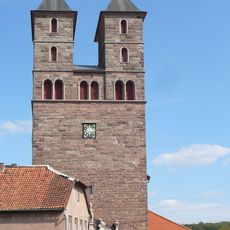
St. Nikolaus
4.7 km
Bocksbühl
6.3 km
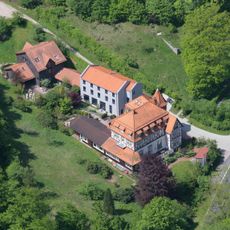
Schloss Rusteberg
4.7 km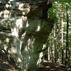
Abri IX
6.5 km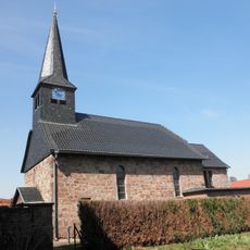
St. Georg (Burgwalde)
3 km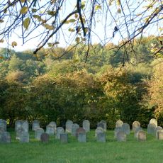
Jüdischer Friedhof (Bremke)
4.4 km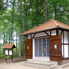
Magdalenen-Kapelle
5.3 km
Ev.-luth. Kirche Reiffenhausen
6.1 km
St. Johannes der Täufer
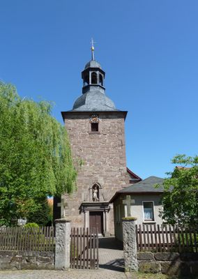
93 m
St. Peter und Paul
4.2 km
St. Pankratius
2.5 km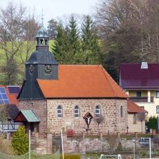
St. Magnus (Schachtebich)
1.5 km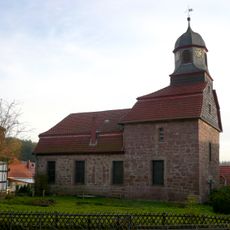
St. Matthiaskirche
4 km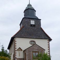
St. Ägidius
4.9 km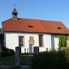
St. Pankratius Gelliehausen
6.9 km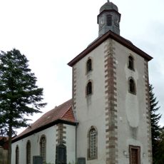
Martinikirche
4.1 km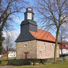
Dorfkirche Lichtenhagen
3.9 km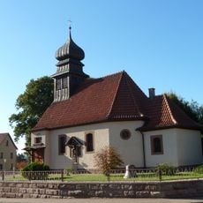
St. Alban
3.9 km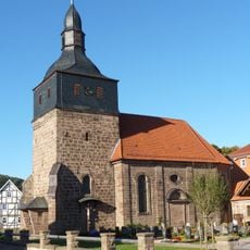
St. Johannes (Rengelrode)
4.7 km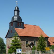
St. Matthias (Bischhagen)
3 km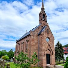
St. Johannes Evangelist (Streitholz)
2.4 km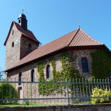
St. Maria Magdalena (Mengelrode)
3.4 km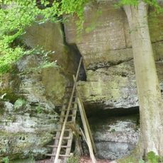
Hurkutstein
5.4 km
Leinetalhänge westlich Heiligenstadt
4 kmVisited this place? Tap the stars to rate it and share your experience / photos with the community! Try now! You can cancel it anytime.
Discover hidden gems everywhere you go!
From secret cafés to breathtaking viewpoints, skip the crowded tourist spots and find places that match your style. Our app makes it easy with voice search, smart filtering, route optimization, and insider tips from travelers worldwide. Download now for the complete mobile experience.

A unique approach to discovering new places❞
— Le Figaro
All the places worth exploring❞
— France Info
A tailor-made excursion in just a few clicks❞
— 20 Minutes