
Kollmar, municipality of Germany
Location: Steinburg
Elevation above the sea: 0 m
Shares border with: Glückstadt,
Website: https://kollmar-elbe.de
GPS coordinates: 53.73277,9.49519
Latest update: March 2, 2025 23:38
Grauerort Fortress
6.1 km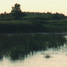
Pagensand
4.9 km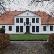
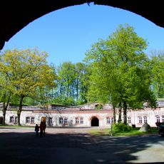
Gut Seestermühe
5.6 km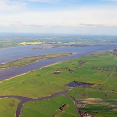
Schwarztonnensand
3.3 km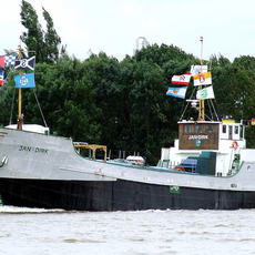
Jan-Dirk
6.1 km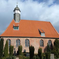
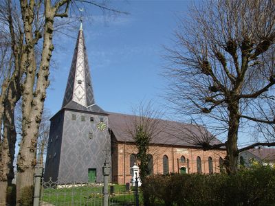
Trinitatiskirche
5 km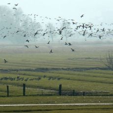
Asselersand
4.8 km
Elbe und Inseln
4.5 km
Rigmor
7.5 km
Am Rethövel 9
7.5 km
Eschschallen im Seestermüher Vorland
5 km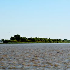
Rhinplate und Elbufer südlich Glückstadt
6.9 km
Schilf- und Wasserfläche Krautsand/ Ostende
7.1 km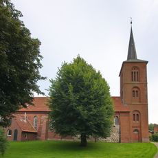
St.-Martins-Kirche
6 km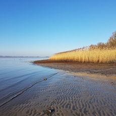
Kollmarer Marsch
889 m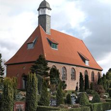
Kirche St. Trinitatis mit Ausstattung
5 km
Elbinsel Pagensand
4.9 km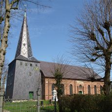
Dorfkirche
183 m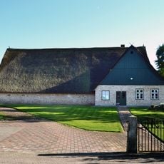
Hofanlage: Haupthaus
5.4 km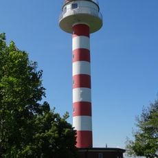
Steindeich lighthouse
2.5 km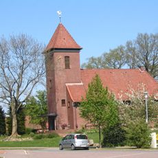
St. Annen
6.1 km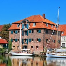
Alter Speicher
7.5 km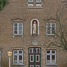
Poppenhuus
6.8 km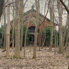
Gut Seestermühe: Mausoleum
5.2 km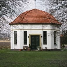
Gut Seestermühe; Gartenpavillon
4.8 km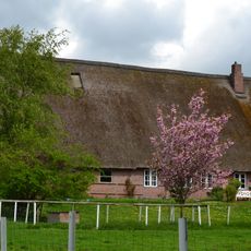
Wohn- und Wirtschaftsgebäude
4.6 km
Christian-IV-Straße 25
7.3 km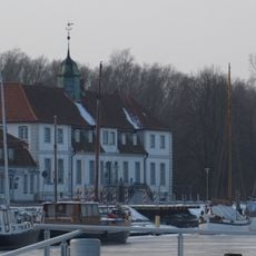
Ehemaliges Frauengefängnis
7.5 kmVisited this place? Tap the stars to rate it and share your experience / photos with the community! Try now! You can cancel it anytime.
Discover hidden gems everywhere you go!
From secret cafés to breathtaking viewpoints, skip the crowded tourist spots and find places that match your style. Our app makes it easy with voice search, smart filtering, route optimization, and insider tips from travelers worldwide. Download now for the complete mobile experience.

A unique approach to discovering new places❞
— Le Figaro
All the places worth exploring❞
— France Info
A tailor-made excursion in just a few clicks❞
— 20 Minutes