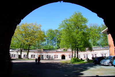
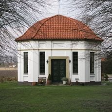
Grauerort Fortress, Military fortress in Stade, Germany
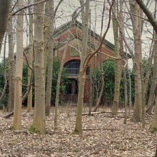
Grauerort Fortress is a hexagonal artillery fort located on the Elbe estuary with earth walls rising about 10 meters high and a protective concrete path as entrance. Inside, exhibition spaces display weapons, uniforms, and technical equipment that document the military equipment and craftsmanship of the era.
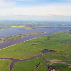
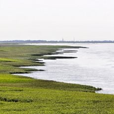
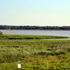
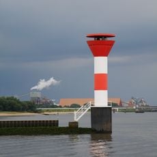
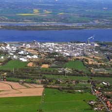
Prussian forces constructed this defensive installation between 1869 and 1879 to secure the Elbe access and Hamburg's harbor against enemy ships. The location at the river mouth was crucial for controlling shipping traffic that formed the economic backbone of the region.
The fortress displays weapons and military equipment from its founding era, showing how this structure reflected the strategic importance of the Elbe estuary for trade and defense. Visitors can observe how the design and placement of the fortification shaped regional military thinking of that period.
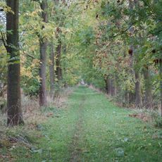
The fort is reachable on foot from the town of Stade, though it requires intentional planning as it sits off the main tourist path. Sturdy footwear is helpful since access involves walking along an outdoor path and the grounds are exposed to weather.
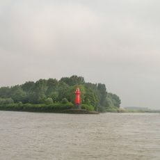
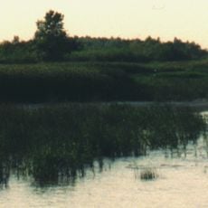
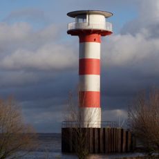
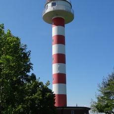
A wooden pier extending about 250 meters once stretched from the fort into the water, providing space for a restaurant called Klein Helgoland. This pier served as a retreat spot and offered visitors an escape when the island of Heligoland itself was unreachable.
The community of curious travelers
AroundUs brings together thousands of curated places, local tips, and hidden gems, enriched daily by 60,000 contributors worldwide.