Stade, Hanseatic town in Lower Saxony, Germany.
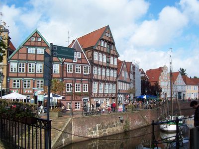
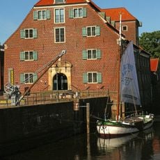
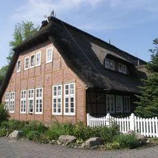
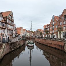
Stade is a town on the Elbe in Lower Saxony marked by narrow lanes and half-timbered houses from several centuries. The old harbor quarter shows warehouses and quays that were once used for trade along the river.
The settlement was first recorded in 994 and joined the Hanseatic League, making it a trading center on the Elbe. In the 1600s it came under Swedish control before later passing to Hanover.
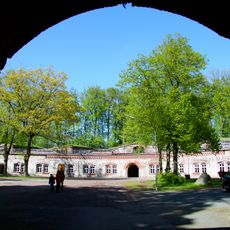
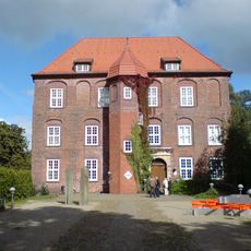
The Swedish Warehouse dates from a period when the town stood under Swedish rule and now displays regional crafts and everyday objects from local life. The Open Air Museum preserves old farmhouses and a windmill from the 1600s that visitors can still walk around today.
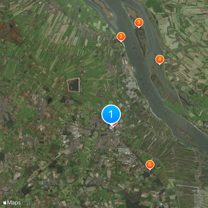
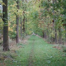
Regular trains run from Hamburg in less than an hour, bringing visitors to the old center or surrounding fruit orchards. The lanes in the town core are best explored on foot, as many areas are closed to cars.
The wooden harbor crane at the old port is one of the last surviving timber cargo lifts used in northern German Hanseatic towns. The construction shows how goods were moved from ship to shore during medieval and early modern times.
Location: Stade
Elevation above the sea: 9 m
Part of: Hamburg Metropolitan Region
Shares border with: Fredenbeck, Hetlingen, Hollern-Twielenfleth, Agathenburg, Dollern, Deinste, Düdenbüttel, Hammah, Drochtersen, Seestermühe, Haselau, Glückstadt
Website: https://stade.de
GPS coordinates: 53.59979,9.47544
Latest update: December 14, 2025 20:43
Grauerort Fortress
8.7 km
Pagensand
10.5 km
Bishorst
8.1 km
Schloss Agathenburg
5.8 km
Schwedenspeicher-Museum
472 m
Church of Saints Cosmas and Damian, Stade
236 m
St. Wilhadi
202 m
Schnitger organ in St. Cosmae
241 m
Schwedenschanze
3.2 km
Freilichtmuseum auf der Insel
262 m
Kunsthaus
405 m
Altes Rathaus Stade
192 m
Stade Technology and Transport Museum
1.2 km
Benediktinerabtei St. Maria, Stade
1.9 km
Heilig-Geist-Kirche
1.3 km
Asselersand
11.4 km
Gut Brook
3.4 km
Niedersächsisches Landesarchiv - Staatsarchiv Stade
636 m
Bürgermeister-Hintze-Haus
450 m
Fernmeldeturm Haddorf
4 km
Barger Heide
3.4 km
St.-Nicolai-Kirche (Bützfleth)
6.1 km
Schwarzer Berg
2 km
Eschschallen im Seestermüher Vorland
11.4 km
Seemannsclub Oase
5.8 km
Sandentnahme Hammah
6.9 km
Jüdischer Friedhof Stade
623 m
Geestrand von Stade bis Horneburg
7.9 kmVisited this place? Tap the stars to rate it and share your experience / photos with the community! Try now! You can cancel it anytime.
Discover hidden gems everywhere you go!
From secret cafés to breathtaking viewpoints, skip the crowded tourist spots and find places that match your style. Our app makes it easy with voice search, smart filtering, route optimization, and insider tips from travelers worldwide. Download now for the complete mobile experience.
A unique approach to discovering new places❞
— Le Figaro
All the places worth exploring❞
— France Info
A tailor-made excursion in just a few clicks❞
— 20 Minutes