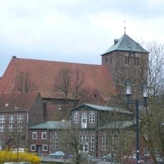
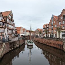
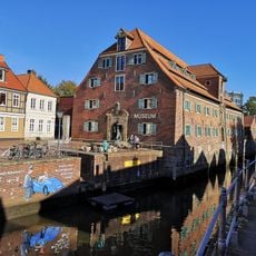
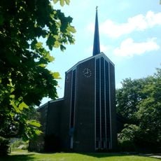
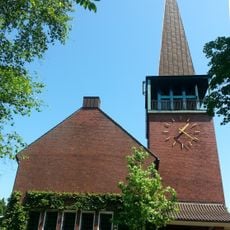
Freilichtmuseum auf der Insel, Open-air museum in Stade, Germany
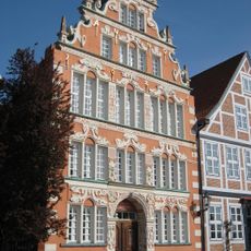
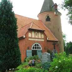
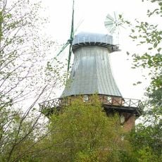
Freilichtmuseum auf der Insel is a collection of historical buildings spread across a site in Stade, including half-timbered houses, a post windmill, and a 17th-century agricultural structure called a Göpelwerk. The buildings come from different periods and show how people in this region lived and worked in earlier times.
The museum was founded in 1910 and sits on the grounds of a former fortification called Bleicher-Ravelin, built by Swedish authorities in 1692. This location connects the military history of Stade with the later goal of preserving craft and rural traditions.
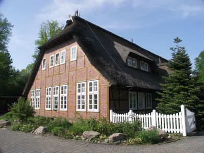
The Altländer House from 1733 shows how people in this region lived and what they owned, from furniture to everyday objects that shaped their daily lives. You can see how living conditions changed over two centuries.
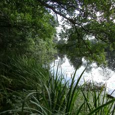
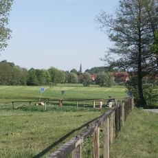
The grounds are easy to explore on foot, as the buildings are connected by paths and you can move at your own pace. The best time to visit is between May and September, when the museum is open and the weather suits a leisurely walk.
Astronomer and philosopher Georg Christoph Lichtenberg used the site in 1773 as a location for his field observatory to calculate Stade's exact geographical position through star observations. This scientific work shows the place once served as a center for knowledge and mapping.
The community of curious travelers
AroundUs brings together thousands of curated places, local tips, and hidden gems, enriched daily by 60,000 contributors worldwide.