
Oppershausen, municipality in Thuringia, Germany
Location: Erfüllende Gemeinde Vogtei
Location: Unstrut-Hainich-Kreis
Elevation above the sea: 220 m
Website: http://oppershausen.de
GPS coordinates: 51.13974,10.44628
Latest update: March 25, 2025 07:31
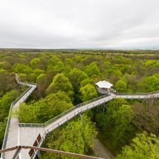
Hainich National Park
6.2 km
German Bratwurst Museum
7.1 km
Betteleiche
6.7 km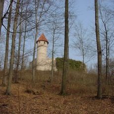
Burg Haineck
7.6 km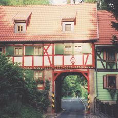
Grenzhaus Heyerode
8.4 km
Wasserschloss Seebach
5.1 km
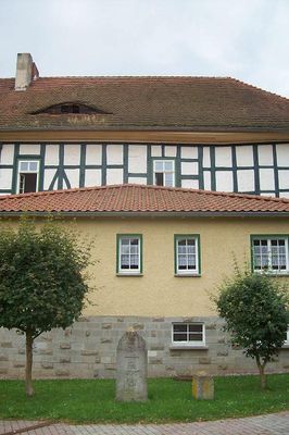
Burg Oppershausen
142 m
St. Peter and Paul (Oberdorla)
3.3 km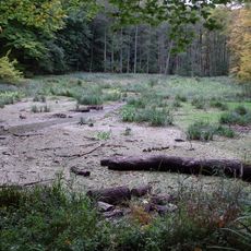
Hünenburg
3.4 km
St. Cyriakus (Heyerode)
9.3 km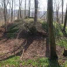
Altenburg (Nazza)
8.1 km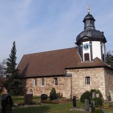
St. Petrus
5.7 km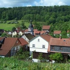
Dudel-berg
9.6 km
Saint Mary Church (Heyerode)
9 km
St. Martini
4.7 km
St. Georg (Langula)
2.3 km
St. Johannis
5.4 km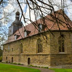
St. Ulrich
5.9 km
Kirche Heroldishausen
4.7 km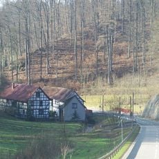
Ruppertsberg
9.3 km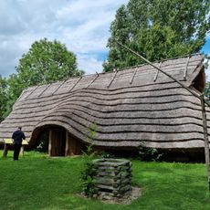
Gemeinde Vogtei "Ausstellung Opfermoor Vogtei"
2.5 km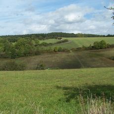
Wernershäuser Höhe
8.6 km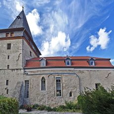
St. Andreas (Flarchheim)
2.7 km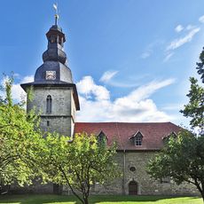
St. Andreas (Kammerforst)
2.3 km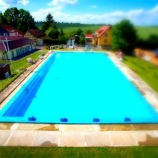
Schwimmbad Weberstedt
5.6 km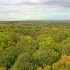
Hainich
4 km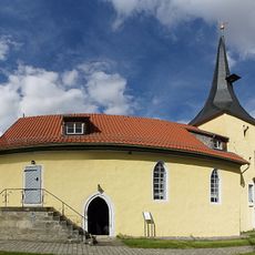
St. Marien (Oppershausen)
43 m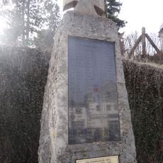
War memorial Felchta
5.8 kmVisited this place? Tap the stars to rate it and share your experience / photos with the community! Try now! You can cancel it anytime.
Discover hidden gems everywhere you go!
From secret cafés to breathtaking viewpoints, skip the crowded tourist spots and find places that match your style. Our app makes it easy with voice search, smart filtering, route optimization, and insider tips from travelers worldwide. Download now for the complete mobile experience.

A unique approach to discovering new places❞
— Le Figaro
All the places worth exploring❞
— France Info
A tailor-made excursion in just a few clicks❞
— 20 Minutes