Unstrut-Hainich-Kreis
Unstrut-Hainich-Kreis, Administrative district in Thuringia, Germany.
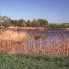
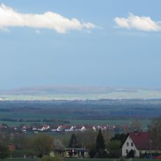
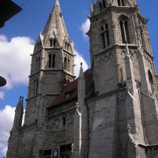
Unstrut-Hainich-Kreis is an administrative district in northern Thuringia with varied terrain and mixed land use. The area includes farmland, forests, and hills crossed by waterways, centered on the city of Mühlhausen.
The district was formed in 1994 from the merger of two former administrative areas following German reunification. This consolidation reorganized local administration in the region and created a new administrative unit.
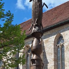
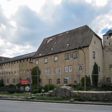
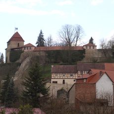
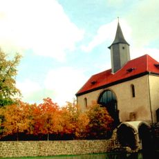
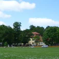
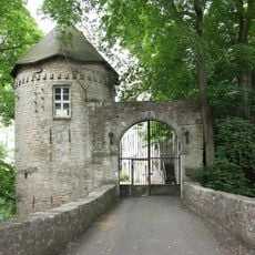
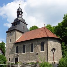
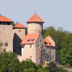
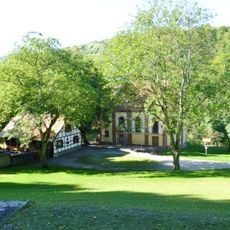
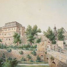
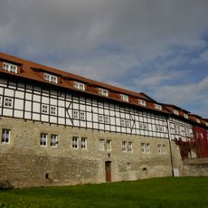
The area shows its character through traditional villages and small towns with half-timbered buildings that shape the landscape. These settlements reflect local craftsmanship traditions and continue to define the region's appearance today.
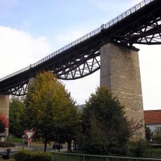
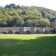
The region is well connected to neighboring areas through an extensive road network and easy to travel through. Mühlhausen serves as the main hub for administration and local services throughout the area.
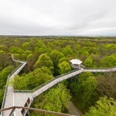
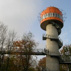
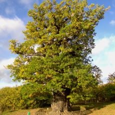
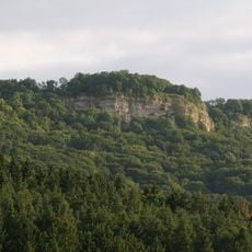
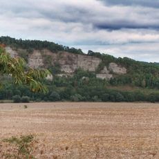
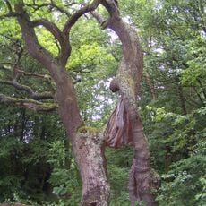
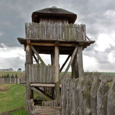
The name comes from the Unstrut River and the Hainich hills, which contain a national park with rare forest ecosystems. This natural feature gives the region notable ecological variety.
Location: Thuringia
Capital city: Mühlhausen
Elevation above the sea: 196 m
Shares border with: Eichsfeld, Kyffhäuserkreis, Sömmerda, Gotha, Wartburgkreis, Werra-Meißner-Kreis
Website: https://unstrut-hainich-kreis.de
GPS coordinates: 51.17000,10.50000
Latest update: December 13, 2025 12:33
Hainich National Park
11.2 km
Bauernkriegssäule
5.2 km
St. Mary's Church, Mühlhausen
5.5 km
Lengenfelder Viadukt
19.9 km
Baumkronenpfad Hainich
9.7 km
Schloss Tonna
18.2 km
Burg Creuzburg
22.2 km
Volkenroda Abbey
10 km
Opfermoor Vogtei
3.9 km
Possen
31.3 km
German Bratwurst Museum
7.8 km
Fahner Höhe
25.8 km
Burg Gleichenstein
24.6 km
Anrode
14.2 km
Castle Normannstein
18.6 km
Volkenrodaer Eiche
10.4 km
Heldrastein
22.7 km
Christus-Pavillon
10.1 km
Divi Blasii, Mühlhausen
5.1 km
Klüschen Hagis
23.9 km
Popperöder Brunnenhaus
6.7 km
Werrabrücke Creuzburg
21.9 km
Schloss Ebeleben
20.3 km
Neues Schloss
18.2 km
Kloster Zella
16.6 km
Creuzburger Werratal-Hänge
20.1 km
Betteleiche
11.6 km
Archäologisches Freilichtmuseum Funkenburg
30.2 kmVisited this place? Tap the stars to rate it and share your experience / photos with the community! Try now! You can cancel it anytime.
Discover hidden gems everywhere you go!
From secret cafés to breathtaking viewpoints, skip the crowded tourist spots and find places that match your style. Our app makes it easy with voice search, smart filtering, route optimization, and insider tips from travelers worldwide. Download now for the complete mobile experience.
A unique approach to discovering new places❞
— Le Figaro
All the places worth exploring❞
— France Info
A tailor-made excursion in just a few clicks❞
— 20 Minutes