
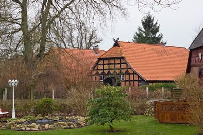
Karwitz, municipality of Germany
Location: Lüchow-Dannenberg District
Location: Elbtalaue
Elevation above the sea: 28 m
Website: https://elbtalaue.de/home/meine-samtgemeinde/samtgemeinde-elbtalaue/gemeinde-karwitz.aspx
GPS coordinates: 53.08306,11.01667
Latest update: March 4, 2025 04:12
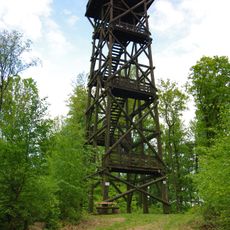
Hoher Mechtin
8.4 km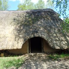
Hitzacker Archaeological Centre
7.4 km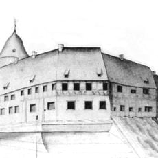
Schloss Dannenberg
5.7 km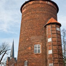
Waldemarturm
5.7 km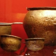
Fürstengräber von Marwedel
5.6 km
Breeser Grund
11.5 km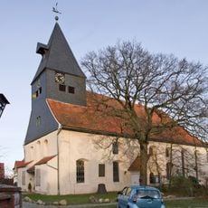
St.-Johannis-Kirche
8 km
Saint John the Baptist Church (Dannenberg, Elbe)
5.6 km
Altes Zollhaus Hitzacker
8 km
Oktogon
7.7 km
Saint Martin Church
5.7 km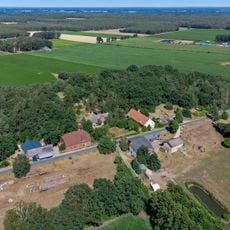
Hoheluft (Jameln)
4.1 km
Villa Max Adolf
8 km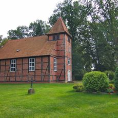
Church
8.9 km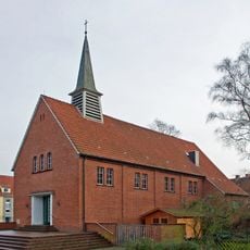
Saints Peter and Paul Church
6.9 km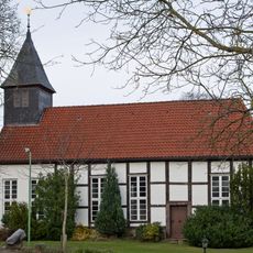
Kirche
10 km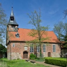
Gutskapelle Breese im Bruche
6 km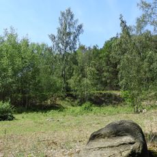
Schwarzer Berg bei Krummasel
7.5 km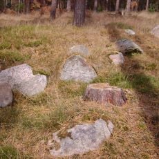
Großsteingrab Wittfeitzen
8.5 km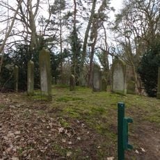
Jüdischer Friedhof
8.1 km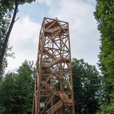
Hoher Mechtin Observation Tower
8.4 km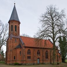
Protestant Church
8.9 km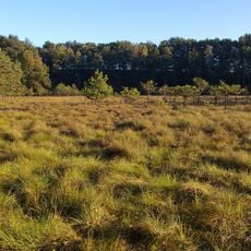
Maujahn
2.2 km
Elbhöhen-Drawehn
7.2 km
Alter Friedhof Dannenberg
6.3 km
Maujahn
2.1 km
Ewige Route
9.5 km
Drawehn
6.7 kmVisited this place? Tap the stars to rate it and share your experience / photos with the community! Try now! You can cancel it anytime.
Discover hidden gems everywhere you go!
From secret cafés to breathtaking viewpoints, skip the crowded tourist spots and find places that match your style. Our app makes it easy with voice search, smart filtering, route optimization, and insider tips from travelers worldwide. Download now for the complete mobile experience.

A unique approach to discovering new places❞
— Le Figaro
All the places worth exploring❞
— France Info
A tailor-made excursion in just a few clicks❞
— 20 Minutes