
Schraden, municipality of Germany
Location: Elbe-Elster District
Elevation above the sea: 92 m
Website: https://plessa.de
GPS coordinates: 51.43306,13.69972
Latest update: March 9, 2025 05:12
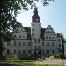
Schloss Lindenau
3.9 km
Schloss Mückenberg
4.8 km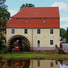
Elstermühle Plessa
5.9 km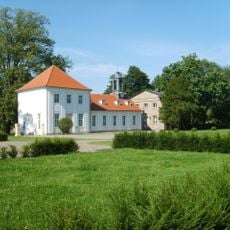
Schlosskirche Lauchhammer
4.8 km
Kulturhaus Plessa
6.6 km
Dorfkirche Plessa
6.4 km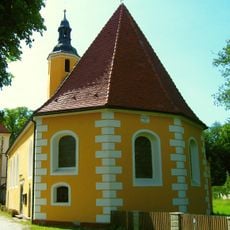
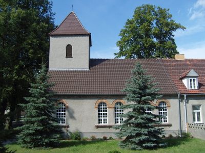
Schlosskirche
3.9 km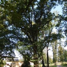
Naturdenkmal Pyramideneiche Volkspark, 30 m südöstlich der Parkbühne in Lauchhammer
4.7 km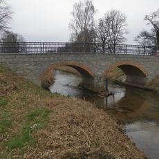
Zweifeldbogenbrücke über die Pulsnitz
3.6 km
Schlosspark Lauchhammer-West
4.8 km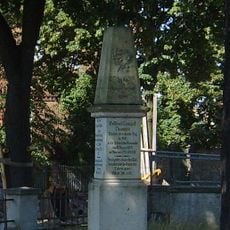
Kriegerdenkmal in Lauchhammer-West
5 km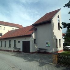
Martin-Luther-Kapelle
1.9 km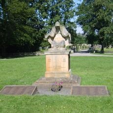
Kriegerdenkmal Lauchhammer-West
4.7 km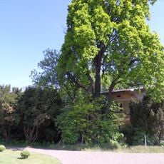
Orangerie Lauchhammer
4.8 km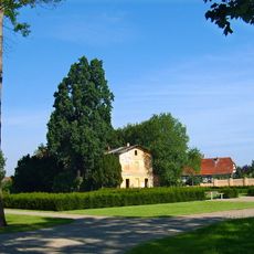
Naturdenkmal Pyramideneiche Volkspark, 50 m nördlich der Kirche beim Ehrenmal in Lauchhammer
4.8 km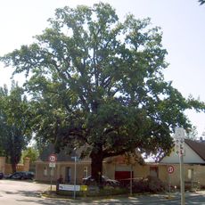
Luthereiche
4.8 km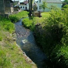
Pulsnitz und Niederungsbereiche
3 km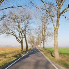
Naturdenkmal Eichen-Ahorn-Allee von Schraden nach Plessa
4.3 km
Försterei Schlosspark Lauchhammer
4.8 km
Naturdenkmal Stieleiche
2.3 km
Naturdenkmal Stieleiche
6.4 km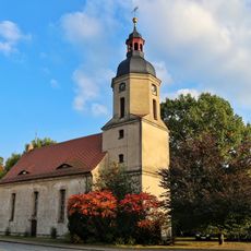
Naturdenkmal Stieleiche Elsterstraße; Flur 3, Flurstück 712 in Plessa
6.5 km
Rosskastanie am Kulturhaus Plessa
6.5 km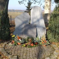
Mahnmal zum Volkstrauertag in Lindenau, Oberlausitz
3.6 km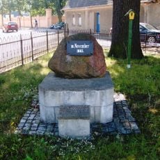
Martin-Luther-Gedenkstein
4.8 km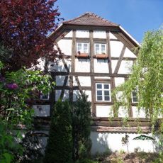
Schlossmühle Mückenberg
4.9 km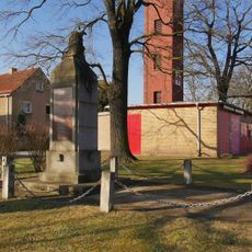
Kriegerdenkmal Plessa
6.4 km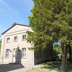
Kavaliershaus Lauchhammer
4.8 kmVisited this place? Tap the stars to rate it and share your experience / photos with the community! Try now! You can cancel it anytime.
Discover hidden gems everywhere you go!
From secret cafés to breathtaking viewpoints, skip the crowded tourist spots and find places that match your style. Our app makes it easy with voice search, smart filtering, route optimization, and insider tips from travelers worldwide. Download now for the complete mobile experience.

A unique approach to discovering new places❞
— Le Figaro
All the places worth exploring❞
— France Info
A tailor-made excursion in just a few clicks❞
— 20 Minutes