Schwalbach am Taunus, Urban municipality near Frankfurt, Germany.
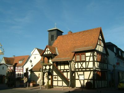
Schwalbach am Taunus is a residential town on the southeastern slopes of the Taunus Mountains, about 20 kilometers from Frankfurt. It has a town center with shops, a library, and spaces for community activities.
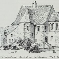
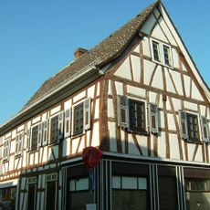
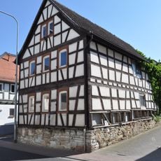
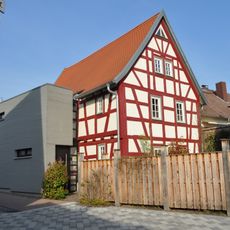
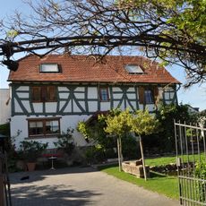
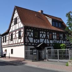
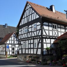
The town first appears in written records in 781 when land was donated to Lorsch Abbey. It evolved from a farming village into a modern residential community during the 20th century.
The town maintains partnerships with cities in Poland, England, and France that encourage local exchanges and cooperation. These connections shape how residents engage with each other and with visitors.
The S-Bahn train connects the town directly to the Frankfurt metropolitan area, making travel straightforward. Shopping and local services are concentrated in the town center, easy to reach on foot.
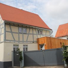
A large residential district built in the 1960s integrates parks and forest areas throughout the neighborhoods. These green spaces were planned from the start as part of the community design.
Location: Main-Taunus-Kreis
Inception: April 14, 1970
Elevation above the sea: 141 m
Shares border with: Frankfurt, Eschborn, Kronberg im Taunus, Königstein im Taunus, Bad Soden am Taunus, Sulzbach (Taunus)
Website: https://schwalbach.de
GPS coordinates: 50.15417,8.52882
Latest update: December 7, 2025 09:23
Arboretum Main-Taunus
2.5 km
Niederhöchstadt station
1.3 km
Burg Schwalbach am Taunus
857 m
St. Pankratius, Schwalbach
717 m
Evangelische Kirche Sulzbach
2.4 km
Grünanlage vor der katholischen Kirche, Gefallenendenkmal
2.5 km
Friedhof und Friedhofskapelle
1.2 km
Borngasse 2
584 m
Hauptstraße 5
782 m
Wegkreuz
534 m
Kirche St. Nikolaus (Niederhöchstadt)
1.5 km
Hauptstraße 291
1.4 km
Schulstraße 10
695 m
Giebelständiges, verputztes Fachwerkhaus einer ehemaligen Hofreite
1.4 km
Barockes, zweigeschossiges Wohnhaus
1.4 km
Hauptstraße 39
2.2 km
Zurückliegendes, traufständiges Wohnhaus auf Bruchsteinsockel
1.4 km
Sandsteinkreuz mit gefasstem Corpus
1.4 km
Wasserwerk
1.9 km
Borngasse 1
607 m
Oberschultheißereistraße 2
2.2 km
Giebelständiges Fachwerkwohnhaus des 17. Jahrhunderts
1.4 km
Hauptstraße 11
767 m
Hauptstraße 13
769 m
Ehemalige Schule
721 m
Hauptstraße 287-289
1.4 km
Villa Höhfeldsches Haus
2.5 km
Hauptstraße 81-85
2.6 kmVisited this place? Tap the stars to rate it and share your experience / photos with the community! Try now! You can cancel it anytime.
Discover hidden gems everywhere you go!
From secret cafés to breathtaking viewpoints, skip the crowded tourist spots and find places that match your style. Our app makes it easy with voice search, smart filtering, route optimization, and insider tips from travelers worldwide. Download now for the complete mobile experience.
A unique approach to discovering new places❞
— Le Figaro
All the places worth exploring❞
— France Info
A tailor-made excursion in just a few clicks❞
— 20 Minutes