
Wollin, municipality of Germany
Location: Potsdam-Mittelmark District
Elevation above the sea: 37 m
Website: https://amt-ziesar.de/20-gemeinden/107-wollin.html
GPS coordinates: 52.28333,12.46667
Latest update: April 3, 2025 17:52
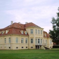
Schloss Reckahn
7.8 km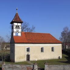
Dorfkirche
4.1 km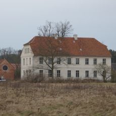
Gutshaus Mahlenzien
5.1 km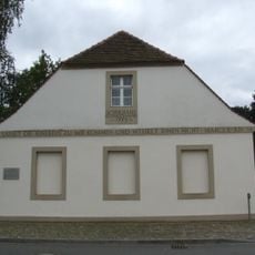
Reckahn School
7.9 km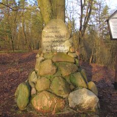
Hohenzollernstein
6.4 km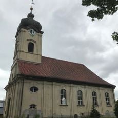
Reckahn Church
7.9 km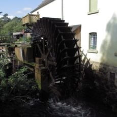
Eulenmühle
7.4 km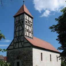
Village church Mahlenzien
5 km
Gränert
8.1 km
Burgwall Reckahn
8 km
Friedens-Berg
8.3 km
Hammerdamm
6.8 km
Dorfkirche Viesen
6.9 km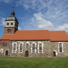
Protestant Church (Glienecke)
6 km
Dorfkirche Krahne
8.2 km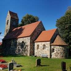
Dorfkirche Boecke
4.7 km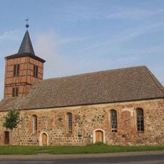
Dorfkirche Gräben
6.2 km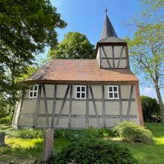
Dorfkirche Klein Briesen
5.9 km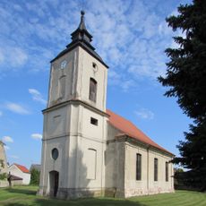
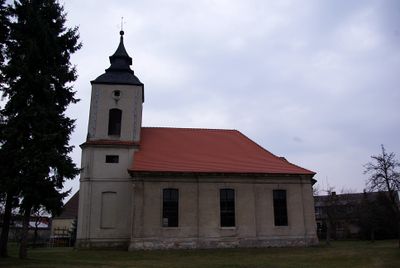
Protestant Church (Wollin)
318 m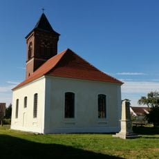
Dorfkirche Wenzlow
2.2 km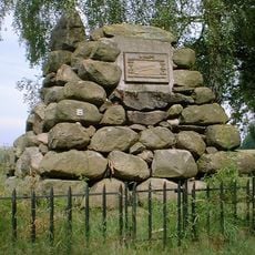
Steinpyramide (Reckahn)
9 km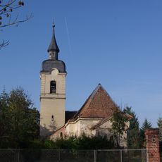
Protestant Church (Grüningen)
1.8 km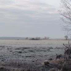
Fiener Bruch
4.4 km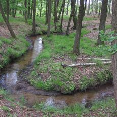
Bullenberger Bach/Klein Briesener Bach
6.8 km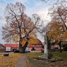
Dorflinde Viesen
6.9 km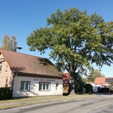
Friedens-Eiche
6.6 km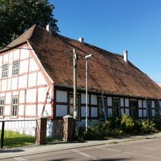
Dorfstraße 25
4.7 km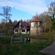
New Mill watchtower
7.3 kmReviews
Visited this place? Tap the stars to rate it and share your experience / photos with the community! Try now! You can cancel it anytime.
Discover hidden gems everywhere you go!
From secret cafés to breathtaking viewpoints, skip the crowded tourist spots and find places that match your style. Our app makes it easy with voice search, smart filtering, route optimization, and insider tips from travelers worldwide. Download now for the complete mobile experience.

A unique approach to discovering new places❞
— Le Figaro
All the places worth exploring❞
— France Info
A tailor-made excursion in just a few clicks❞
— 20 Minutes