
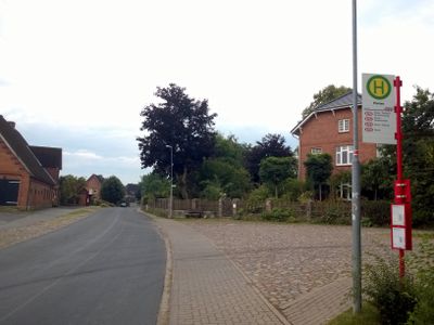
Panten, municipality of Germany
Location: District of Duchy of Lauenburg
Elevation above the sea: 20 m
Website: https://www.gemeinde-panten.de/
Shares border with: Poggensee, Nusse, Kühsen, Lankau, Mölln, Alt Mölln, Bälau
Website: https://gemeinde-panten.de
GPS coordinates: 53.66389,10.61889
Latest update: May 25, 2025 02:01
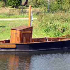
Stecknitz Canal
2.6 km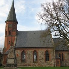
Church in Breitenfelde
6.6 km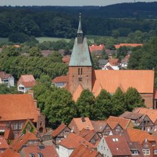
Church of Saint Nicholas in Mölln
6.1 km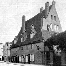
Abbey Marienwohlde
5.3 km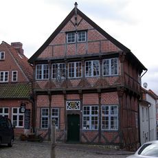
Eulenspiegel-Museum
6.1 km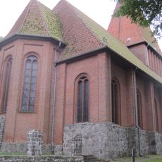
Church in Nusse
2.9 km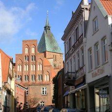
Altes Rathaus
6.1 km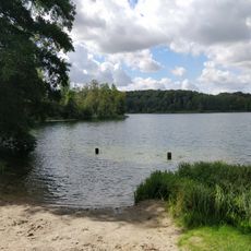
Lankauer See
2.7 km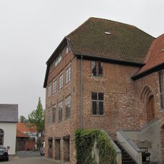
Stadthauptmannshof
6.1 km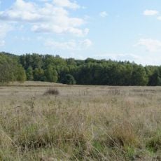
Pantener Moorweiher und Umgebung
806 m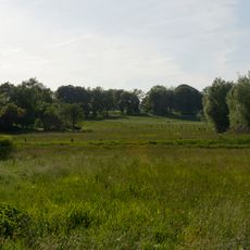
Ritzerauer Hofsee und Duvenseebachniederung
2.3 km
Borstgrasrasen bei Alt-Mölln
4.4 km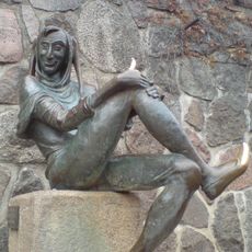
Eulenspiegelbrunnen
6.1 km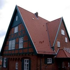
Pastorat
6.1 km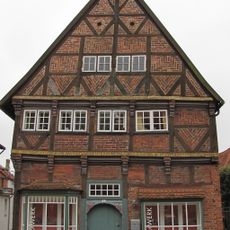
Am Markt 1
6.1 km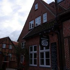
Wohn- und Geschäftshaus
6.1 km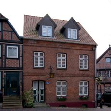
Am Markt 4
6.1 km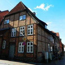
Wohnhaus Hauptstraße 129
6.1 km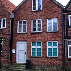
Am Markt 6
6.1 km
Gasthaus „Eulenspiegelklause“
6.1 km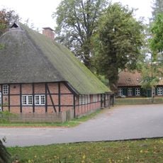
Kirchstraße 8
3 km
Am Markt 7
6.1 km
Hauptstraße 5, Fachhallenhaus
3 km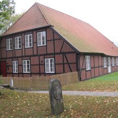
Ehem. Küster- und Schulhaus
3 km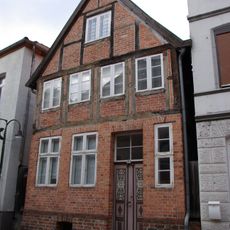
Hauptstraße 103
6.1 km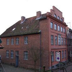
Am Markt 9
6.1 km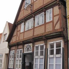
Marktstraße 14
6.1 km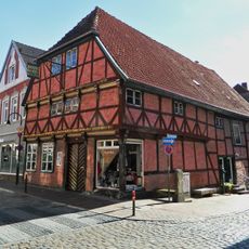
Hauptstraße 106
6.1 kmReviews
Visited this place? Tap the stars to rate it and share your experience / photos with the community! Try now! You can cancel it anytime.
Discover hidden gems everywhere you go!
From secret cafés to breathtaking viewpoints, skip the crowded tourist spots and find places that match your style. Our app makes it easy with voice search, smart filtering, route optimization, and insider tips from travelers worldwide. Download now for the complete mobile experience.

A unique approach to discovering new places❞
— Le Figaro
All the places worth exploring❞
— France Info
A tailor-made excursion in just a few clicks❞
— 20 Minutes