Wolmirstedt, municipality of Landkreis Börde, Germany
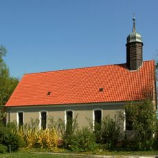
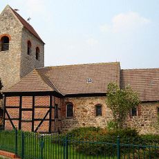
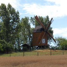
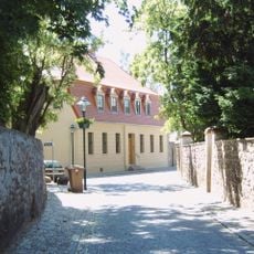
Wolmirstedt is a small town in the Börde district of Saxony-Anhalt, located about 13 kilometers from Magdeburg. It has approximately 12,300 residents and comprises several neighborhoods like Elbeu, Farsleben, and Glindenberg, connected by flat fields and rural surroundings.
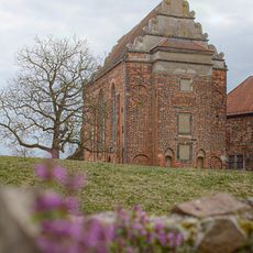
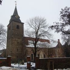
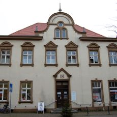
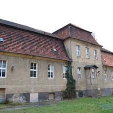
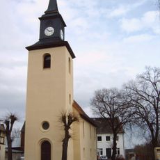
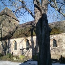
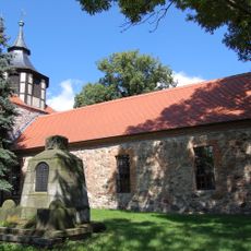
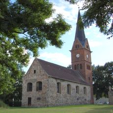
The town was first documented in 1009 in a bishop's records and grew gradually over centuries. By 1861 it had reached approximately 4,000 residents and developed into a community of historical importance in northern Germany.
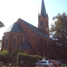
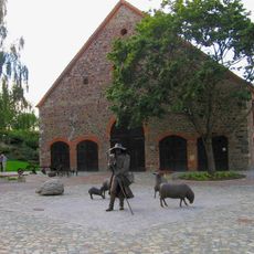
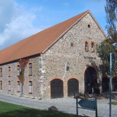
The name Wolmirstedt reflects historical roots that continue to shape the town's identity. Residents maintain local traditions through markets, cafes, and community gatherings where neighborly life unfolds and the rhythm of small-town daily routines becomes apparent.
The town is easily accessible by car or train with good connections to larger cities like Magdeburg. Visitors can explore on foot or by bicycle along the flat streets and surrounding rural areas, making movement through the town relaxed and straightforward.
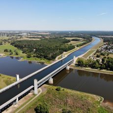
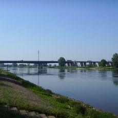
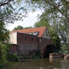
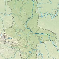
The town's coat of arms features Saint Catherine holding a sword and a broken wheel, an uncommon local heraldic symbol. The city is also part of a waterway network connected to the Mittellandkanal and the Elbe, linking it to historical trade routes.
The community of curious travelers
AroundUs brings together thousands of curated places, local tips, and hidden gems, enriched daily by 60,000 contributors worldwide.