
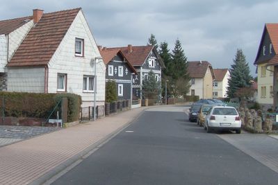
Leimbach, municipality of Germany
Location: Wartburgkreis
Elevation above the sea: 247 m
Shares border with: Bad Salzungen, Stadtlengsfeld, Tiefenort
Website: http://gemeinde-leimbach.de
GPS coordinates: 50.81416,10.19558
Latest update: March 6, 2025 12:13
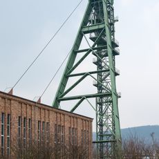
Erlebnisbergwerk Merkers
5.2 km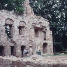
Krayenburg
5.3 km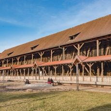
Gradierwerk Bad Salzungen
2.7 km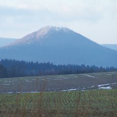
Krayenberg
5.3 km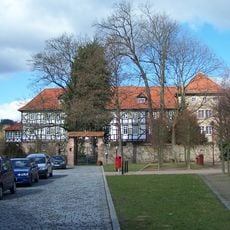
Castles in Stadtlengsfeld
5.9 km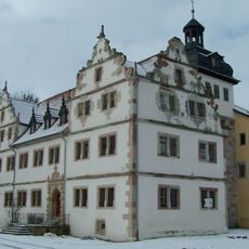
Schloss Wildprechtroda
3.8 km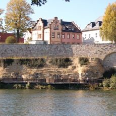
Schnepfenburg
2.8 km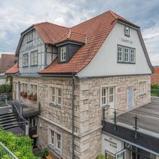
Haunscher Hof
2.8 km
Stadtkirche Bad Salzungen
2.7 km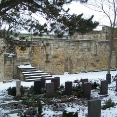
Husenkirche
1.9 km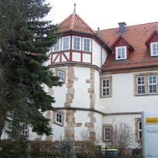
Schloss Leimbach
343 m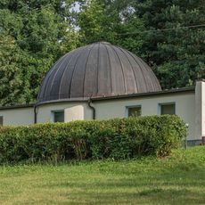
Planetarium Bad Salzungen
3 km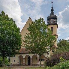
St. Andreas (Bad Salzungen)
2.8 km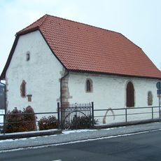
Wendelskirche
3.5 km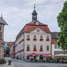
Rathaus Bad Salzungen
2.8 km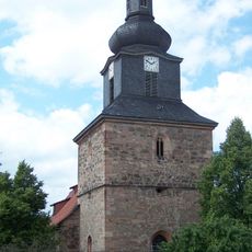
Protestant Church Tiefenort
3.5 km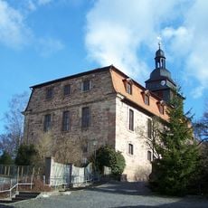
Stadtkirche Stadtlengsfeld
5.7 km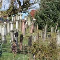
Jewish cemetery, Stadtlengsfeld
6.2 km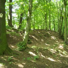
Burgstelle Schlösschen (Unterrohn)
2.1 km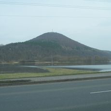
Brühl von Merkers
4.3 km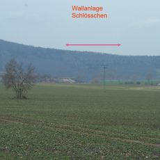
Burgstelle Schlösschen (Tiefenort)
5 km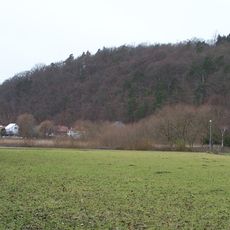
Burgstelle Schlösschen
2.3 km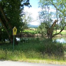
Werraaue mit Altarmen bei Unterrohn
1.8 km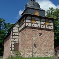
Protestant Church Wildprechtroda
3.8 km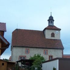
Protestant Church (Langenfeld)
3 km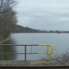
Karrenwiesen
1.2 km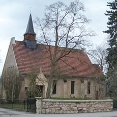
Protestant Church (Leimbach)
131 m
St. Margarete (Stadtlengsfeld)
6.2 kmVisited this place? Tap the stars to rate it and share your experience / photos with the community! Try now! You can cancel it anytime.
Discover hidden gems everywhere you go!
From secret cafés to breathtaking viewpoints, skip the crowded tourist spots and find places that match your style. Our app makes it easy with voice search, smart filtering, route optimization, and insider tips from travelers worldwide. Download now for the complete mobile experience.

A unique approach to discovering new places❞
— Le Figaro
All the places worth exploring❞
— France Info
A tailor-made excursion in just a few clicks❞
— 20 Minutes