
Landwehr, village and former municipality in the district of Hildesheim in Lower Saxony, Germany
Location: Freden
Elevation above the sea: 198 m
Website: http://www.eyershausen-landwehr.de
Website: http://eyershausen-landwehr.de
GPS coordinates: 51.91917,9.97694
Latest update: March 7, 2025 11:08
Gandersheim Abbey
6.4 km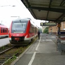
Kreiensen station
7.6 km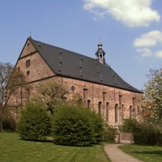
Lamspringe Abbey
5.6 km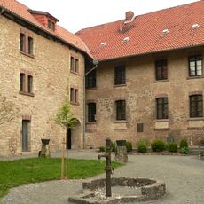
Kloster Brunshausen
5.5 km
Burg Winzenburg
3.5 km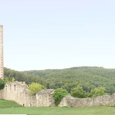
Burg Greene
7.8 km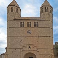
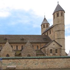
Stiftskirche St. Anastasius und St. Innocentius
6.4 km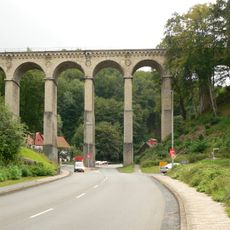
Luhetal Viadukt
7.6 km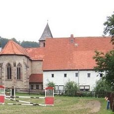
Clus Abbey church
4.6 km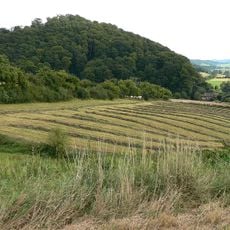
Burg Hausfreden
4 km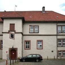
Burg Gandersheim
6.3 km
Selterklippen
5.6 km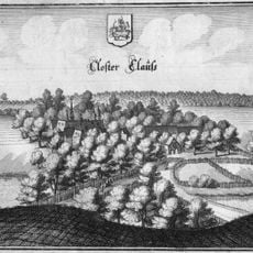
Clus Abbey
4.3 km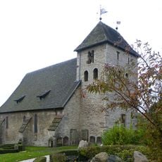
St.-Georg
6.1 km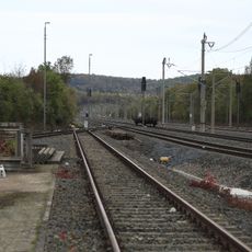
Orxhausen
6.3 km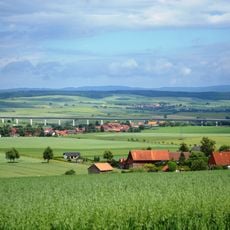
Ohlenrode-Talbrücke
1.8 km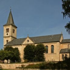
Kirche Mariä Geburt
5.9 km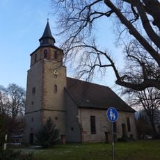
St. Martin (Greene)
7 km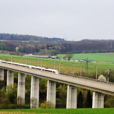
Gandetalbrücke
5.6 km
Heberberg
4.8 km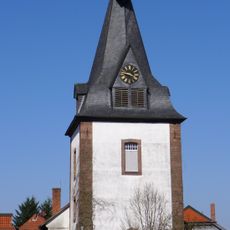
Sophienkirche
5.8 km
Lieth
6.9 km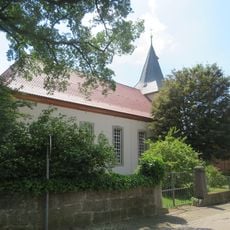
St. Georg
5.9 km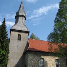
St. Laurentius
5.1 km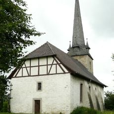
St. Cäcilie
3 km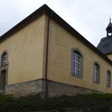
St. Peter und Paul
1.3 km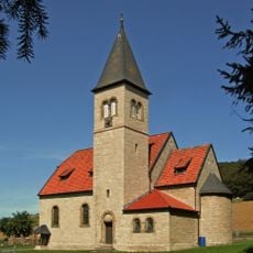
St. Bernward
5.6 km
Sackwald
7.8 kmReviews
Visited this place? Tap the stars to rate it and share your experience / photos with the community! Try now! You can cancel it anytime.
Discover hidden gems everywhere you go!
From secret cafés to breathtaking viewpoints, skip the crowded tourist spots and find places that match your style. Our app makes it easy with voice search, smart filtering, route optimization, and insider tips from travelers worldwide. Download now for the complete mobile experience.

A unique approach to discovering new places❞
— Le Figaro
All the places worth exploring❞
— France Info
A tailor-made excursion in just a few clicks❞
— 20 Minutes