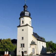
Mödlareuth, Border village between Bavaria and Thuringia, Germany
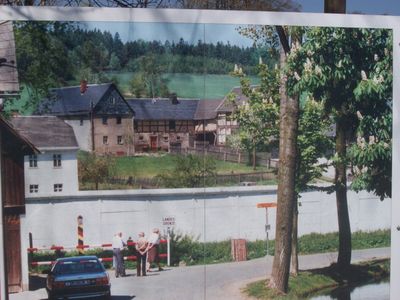
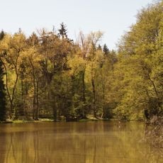
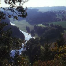
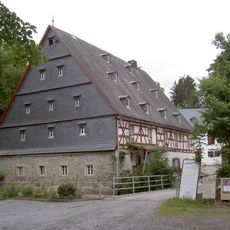
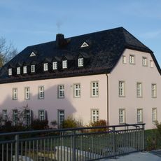
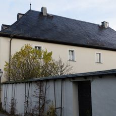
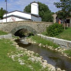
Mödlareuth is a settlement in Bavaria and Thuringia, split by the Tannbach stream that marks the state border between the two regions. Houses, barns and outbuildings stand on both banks, separated by the narrow watercourse that runs through the center of the community.
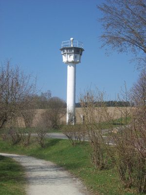
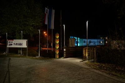
Between 1949 and 1990 a concrete barrier with watchtowers divided the hamlet into eastern and western sectors, monitored by armed guards day and night. After reunification most fortifications were removed, but one segment was preserved as a memorial site.
Visitors walk along sections where families once lived separated by fences and concrete, with homes on opposite banks belonging to different countries for decades. The museum building itself stands near the former checkpoint, allowing people to see how border guards controlled daily movement between the two halves.
Visitors reach the site along narrow country roads marked with signs pointing toward the museum, and parking is available in a small lot nearby. The outdoor area with wall remains and watchtower stays open throughout the day, while the museum building operates on set hours.
American troops called this place Little Berlin because the concrete partition reminded them of the more famous division in the capital. To this day both halves use different postal codes and telephone prefixes, even though they lie only a few meters apart.
The community of curious travelers
AroundUs brings together thousands of curated places, local tips, and hidden gems, enriched daily by 60,000 contributors worldwide.