Gropiusstadt, Residential neighborhood in Neukölln, Germany
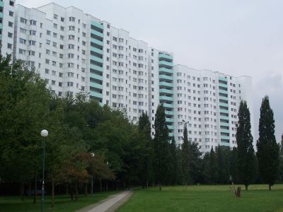
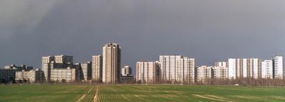
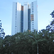
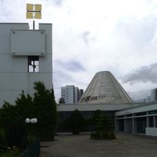
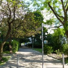
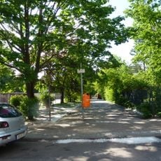
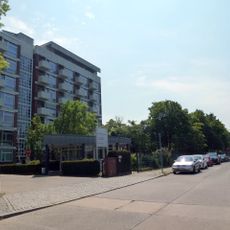
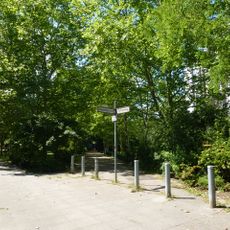
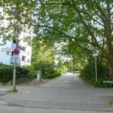
Gropiusstadt is a residential area in southeast Berlin, part of the Neukölln district, covering roughly 2.7 square kilometers (about 1 square mile). The layout consists mainly of multi-story apartment blocks separated by wide pedestrian paths and landscaped open areas.
Planning for the area began in 1957 under the direction of Walter Gropius, with the first residents moving in during the early 1960s. Originally called Britz-Buckow-Rudow, the site later received its current name in honor of the architect.
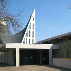
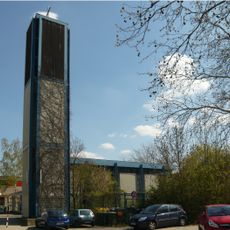
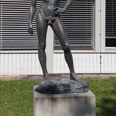
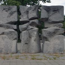
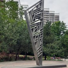
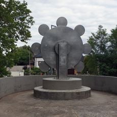
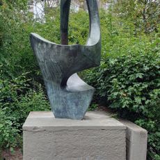
Named after Bauhaus founder Walter Gropius, this area reflects his modernist vision through its layout of tower blocks surrounded by green spaces. The design creates a particular sense of openness and distance between buildings, still shaping how residents move and meet in their everyday routines.
Four U7 metro stations connect the area to central Berlin and provide easy access to the Gropius Passagen shopping center. Wide pathways between buildings make orientation straightforward, and the open layout is generally accessible for visitors with limited mobility.
The eastern edge borders Schönefeld municipality in Brandenburg, placing part of the area directly at the city limit of Berlin. This position makes it one of the few residential districts in Berlin that transitions directly into another municipality.
Location: Neukölln
Elevation above the sea: 52 m
Shares border with: Buckow, Rudow, Britz
GPS coordinates: 52.42580,13.46140
Latest update: December 13, 2025 16:47
Wohnhochhaus Ideal
564 m
St. Dominicus
192 m
Dreieinigkeitskirche
1 km
Martin Luther King Church
493 m
Vogelschutzgebiet am Wildmeisterdamm in Rudow
585 m
David
1.1 km
Getrennt-Zusammen I
868 mWindkinetisches Objekt
487 mTree
532 m
Abstract sculpture
636 m
The Flower
1.4 km
Sculpture
1.1 km
Water sculpture
1 km
Naturdenkmal Eichenpfuhl
1 kmGetrennt-Zusammen III
883 m
Ground relief
1.1 km
Gansbergsteig
295 m
Schwingende Form
1.4 km
Karsenzeile
365 m
Haus für Chronisch Kranke der Arbeiterwohlfahrt
1 km
Schmiedigenpfad
384 mJungfernmühle
835 m
Max-Pallenberg-Pfad
1.1 kmU-Bahnhof Zwickauer Damm U-Bahnhof Zwickauer Damm, 1967-69, Zwickauer Damm, Gürtlerweg, Sattlerstraße
1.6 kmGropiushaus, Wohnhochhaus mit Parkhaus und Milchpavillon Fritz-Erler-Allee 110/116, (siehe Gartendenkmal Fritz-Erler-Allee 112/116) , Lipschitzallee 41/49, Wildmeisterdamm
461 m
Polyhedron wall
1.1 kmGartenhof des Gropiushauses, ca. Fritz-Erler-Allee 112/116, Lipschitzallee 43/49, Wildmeisterdamm
455 mAbstraction
797 mVisited this place? Tap the stars to rate it and share your experience / photos with the community! Try now! You can cancel it anytime.
Discover hidden gems everywhere you go!
From secret cafés to breathtaking viewpoints, skip the crowded tourist spots and find places that match your style. Our app makes it easy with voice search, smart filtering, route optimization, and insider tips from travelers worldwide. Download now for the complete mobile experience.
A unique approach to discovering new places❞
— Le Figaro
All the places worth exploring❞
— France Info
A tailor-made excursion in just a few clicks❞
— 20 Minutes