
Blankenhagen, municipality of Germany
Location: Rostocker Heide
Location: Rostock District
Elevation above the sea: 29 m
Shares border with: Rövershagen, Broderstorf, Gelbensande
Website: http://amt-rostocker-heide.de
GPS coordinates: 54.17000,12.35917
Latest update: March 9, 2025 18:56
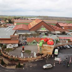
Karls Erlebnis-Dorf Rövershagen
8.4 km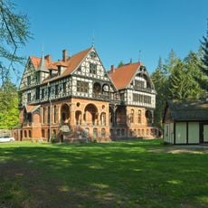
Jagdschloss Gelbensande
5.1 km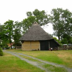
Freilichtmuseum Klockenhagen
7.8 km
Erlebnis-Dorf
8.4 km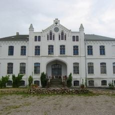
Gutshaus Klein Kussewitz
8.7 km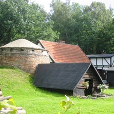
Forst- und Köhlerhof Wiethagen
7.6 km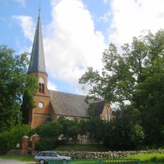
Church in Volkenshagen
3.2 km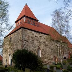
Church in Sanitz
11.2 km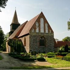
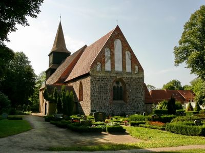
Church in Blankenhagen
1.1 km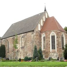
Church in Bentwisch
11.9 km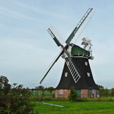
Rövershagen windmill
8 km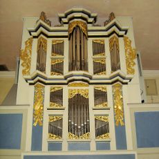
Pipe organ of Dorfkirche Blankenhagen
1.1 km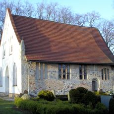
Church in Rostocker Wulfshagen
2.5 km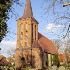
Church in Rövershagen
7.7 km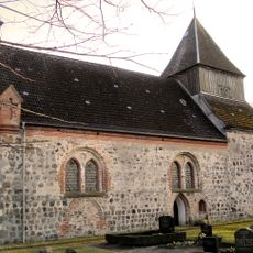
Church in Dänschenburg
5.4 km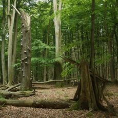
Freienholz (Kriegholz)
6.7 km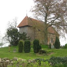
Church in Kloster Wulfshagen
2.5 km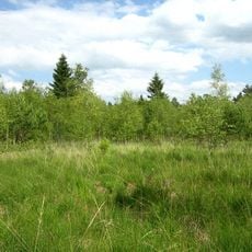
Großes Moor bei Dänschenburg
7.1 km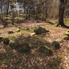
Großsteingrab Barkvieren 3
11.5 km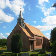
Church in Gresenhorst
4.3 km
Church in Thulendorf
9.2 km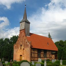
Dorfkirche Kuhlrade
8.8 km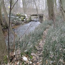
Reppeliner Bachtal
13.1 km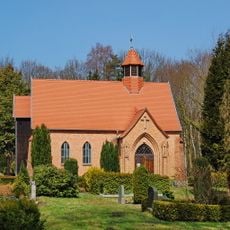
Church in Gelbensande
5.3 km
Rostocker Heide und Wallbach
5.3 km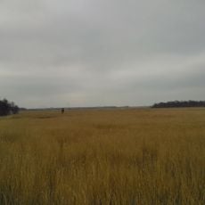
Rostocker Heide
10.3 km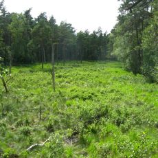
Dänschenburger Moor und Teufelsmoor bei Gresenhorst
7 km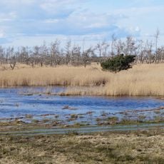
Wälder und Moore der Rostocker Heide
10.4 kmReviews
Visited this place? Tap the stars to rate it and share your experience / photos with the community! Try now! You can cancel it anytime.
Discover hidden gems everywhere you go!
From secret cafés to breathtaking viewpoints, skip the crowded tourist spots and find places that match your style. Our app makes it easy with voice search, smart filtering, route optimization, and insider tips from travelers worldwide. Download now for the complete mobile experience.

A unique approach to discovering new places❞
— Le Figaro
All the places worth exploring❞
— France Info
A tailor-made excursion in just a few clicks❞
— 20 Minutes