
Hohenfelde, municipality of Germany
Location: Stormarn
Elevation above the sea: 52 m
Shares border with: Trittau, Köthel (Stormarn)
Website: http://amt-trittau.de/hohenfelde.html
GPS coordinates: 53.63000,10.47333
Latest update: April 8, 2025 22:46
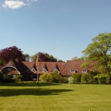
Basthorst Manor
5.4 km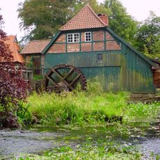
Grander Mühle
7.9 km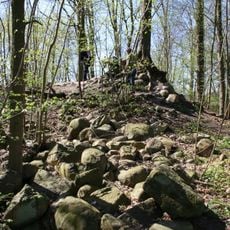
Burg Linau
1.8 km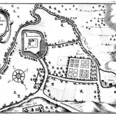
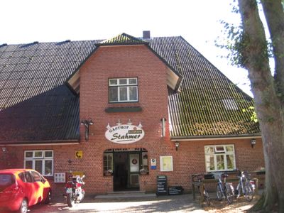
Castillo de Trittau
4.6 km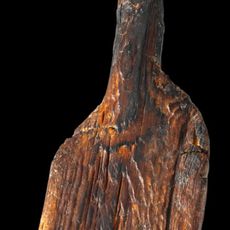
Duvensee paddle
9.1 km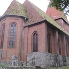
Church in Nusse
7.5 km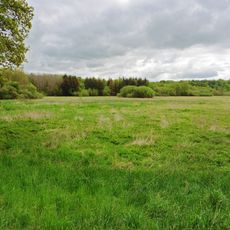
Moorgebiet Kranika
6.4 km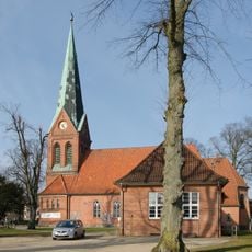
Martin-Luther-Kirche
5 km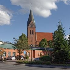
Marienkirche
6.5 km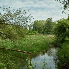
Mühlenbachtal bei Trittau
4.6 km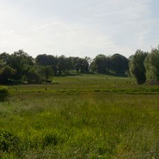
Ritzerauer Hofsee und Duvenseebachniederung
9.1 km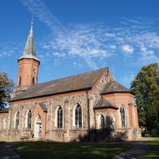
St. Marien
5.7 km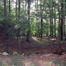
Sirksfelder Schanze
3.5 km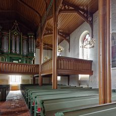
Kirche St. Marien mit Ausstattung
6.5 km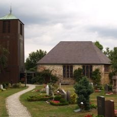
Kirche St. Andreas mit Ausstattung
6.7 km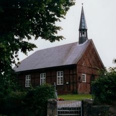
Marienkapelle in Groß Schretstaken
6.8 km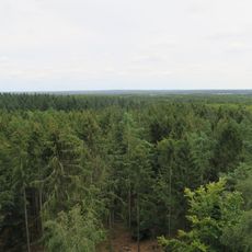
NSG Hahnheide
1.1 km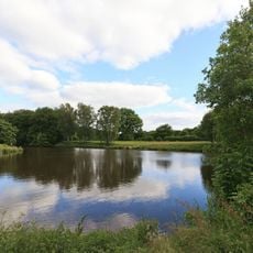
Hahnheide
1.8 km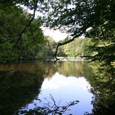
NSG Hahnheide
1.5 km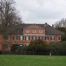
Gut Niendorf
10.2 km
Altes Dorf 5
6.6 km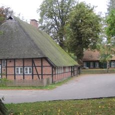
Kirchstraße 8
7.4 km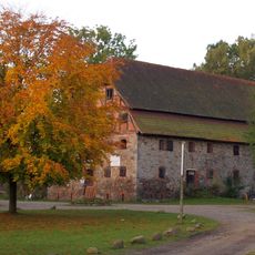
Kornspeicher
9.7 km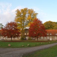
Gutshaus Lanken
9.7 km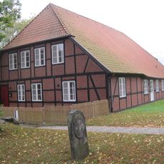
Ehem. Küster- und Schulhaus
7.4 km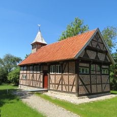
St. Georg
7.1 km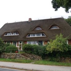
Ehem. Clemens-Schulz-Heim
6.7 km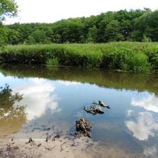
Bille
8.8 kmReviews
Visited this place? Tap the stars to rate it and share your experience / photos with the community! Try now! You can cancel it anytime.
Discover hidden gems everywhere you go!
From secret cafés to breathtaking viewpoints, skip the crowded tourist spots and find places that match your style. Our app makes it easy with voice search, smart filtering, route optimization, and insider tips from travelers worldwide. Download now for the complete mobile experience.

A unique approach to discovering new places❞
— Le Figaro
All the places worth exploring❞
— France Info
A tailor-made excursion in just a few clicks❞
— 20 Minutes