
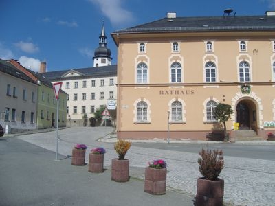
Tanna, municipality of Germany
Location: Saale-Orla-Kreis
Elevation above the sea: 542 m
Shares border with: Schleiz, Saalburg-Ebersdorf
Website: https://stadt-tanna.de
GPS coordinates: 50.49444,11.86111
Latest update: March 3, 2025 02:43
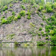
Kobersfelsen
10.1 km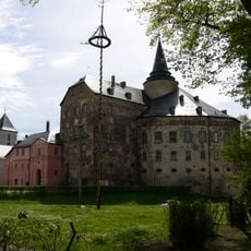
Schloss Mühltroff
7.1 km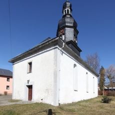
Dorfkirche Schilbach
2.7 km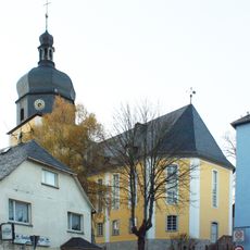
Stadtkirche Unserer Lieben Frauen
6.2 km
St. Martin
8.7 km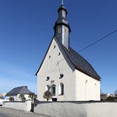
St. Nikolaus
3.2 km
Dorfkirche Willersdorf
3.2 km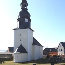
Protestant Church Künsdorf
6.5 km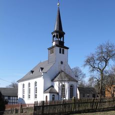
Dorfkirche Langgrün
7.4 km
St. Andreas
126 m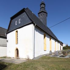
Dorfkirche Seubtendorf
4.3 km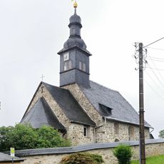
St. Georg
7.9 km
St. Marien
6.5 km
Kirche Stelzen
6.1 km
Sandgrubenteich
7.2 km
Emmauskapelle
5.7 km
Friedenskirche
3.7 km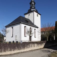
Dorfkirche Mielesdorf
3.9 km
Kirche Reuth
7.4 km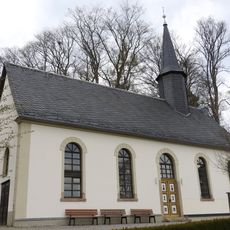
Sacellum S.S. Trinitatis (Gefell)
6.3 km
Johanneskirche
6.5 km
Station 157 Mißlareuth
6.5 km
Burgk - Bleiberg - Kobersfelsen
10.2 km
Michaeliskirche
4.9 km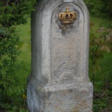
Kgl.-sächs. Postmeilenstein Reuth
6.9 km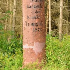
Station 156 Langenbach
4.6 km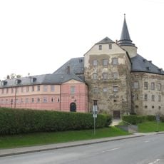
Rittergut August-Bebel-Platz 1
7.1 km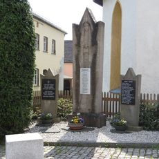
War memorial Gräfenwarth
8.7 kmVisited this place? Tap the stars to rate it and share your experience / photos with the community! Try now! You can cancel it anytime.
Discover hidden gems everywhere you go!
From secret cafés to breathtaking viewpoints, skip the crowded tourist spots and find places that match your style. Our app makes it easy with voice search, smart filtering, route optimization, and insider tips from travelers worldwide. Download now for the complete mobile experience.

A unique approach to discovering new places❞
— Le Figaro
All the places worth exploring❞
— France Info
A tailor-made excursion in just a few clicks❞
— 20 Minutes