
Weimersheim, human settlement in Germany
Location: Weißenburg in Bayern
Elevation above the sea: 449 m
GPS coordinates: 49.04160,10.91970
Latest update: April 24, 2025 15:09
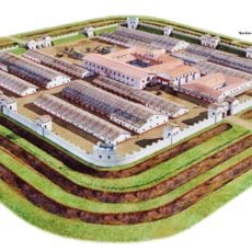
Weißenburg Roman Fort
3.3 km
Roman bath in Weißenburg in Bayern
3.1 km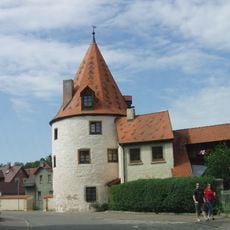
Scheibleinsturm (Weißenburg in Bayern)
3.8 km
Weißenburg Central School
3.8 km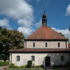
Cimetière sud de Weißenburg
3.7 km
Bräumühle
3.5 km
Maximilianskirche
3.7 km
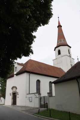
St. Vitus
156 m
Doerflervilla
3.8 km
St. Magnus
2.2 km
Bahnhofstraße 10
3.8 km
St. Johannes
3 km
Bahnhofstraße 14
3.7 km
St. Margaretha
2.2 km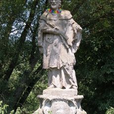
St.-Johannes-Brücke
3.6 km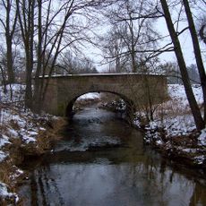
Rezatbrücke
3.7 km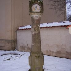
Bildstock
3.7 km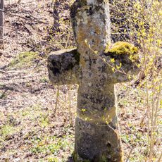
Steinkreuz Ellingen
3.6 km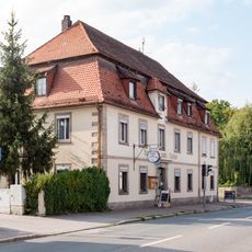
Nürnberger Straße 25
3.8 km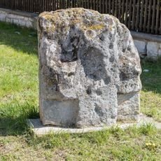
Kreuzstein in Holzingen
2 km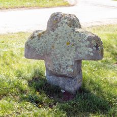
Steinkreuz bei Kattenhochstatt
1.8 km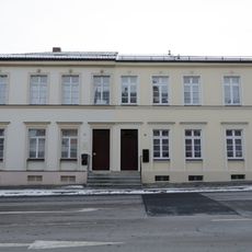
Bahnhofstraße 21, 23 (Weißenburg in Bayern)
3.8 km
Am Hof 16
3.8 km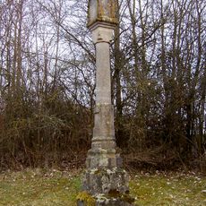
Bildstock
3.6 km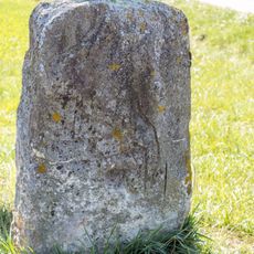
Kreuzstein bei Stopfenheim
3.1 km
Allee zwischen Brühltor und Einmündung der Ringstraße
3.8 km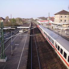
Station building at Weißenburg (Bay) station
3.6 km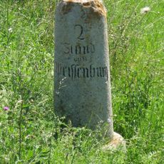
Entfernungsstein
2 kmReviews
Visited this place? Tap the stars to rate it and share your experience / photos with the community! Try now! You can cancel it anytime.
Discover hidden gems everywhere you go!
From secret cafés to breathtaking viewpoints, skip the crowded tourist spots and find places that match your style. Our app makes it easy with voice search, smart filtering, route optimization, and insider tips from travelers worldwide. Download now for the complete mobile experience.

A unique approach to discovering new places❞
— Le Figaro
All the places worth exploring❞
— France Info
A tailor-made excursion in just a few clicks❞
— 20 Minutes