
Hartmannsdorf, municipality in Saale-Holzland district, Thuringia state, Germany
Location: Saale-Holzland-Kreis
Elevation above the sea: 190 m
Shares border with: Crossen an der Elster, Silbitz
Website: https://hartmannsdorf.info
GPS coordinates: 50.96214,11.98279
Latest update: May 5, 2025 04:54
Crossen Palace
1.9 km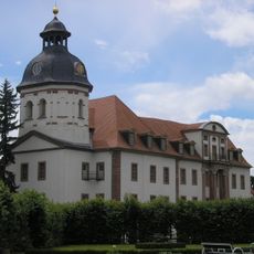
Schlosskirche Eisenberg
5.4 km
Schloss Eisenberg
5.5 km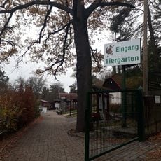
Tiergarten Eisenberg
5.1 km
Heinrich-Schütz-Haus Bad Köstritz
4.1 km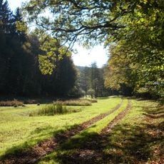
Zeitzer Forst
3.6 km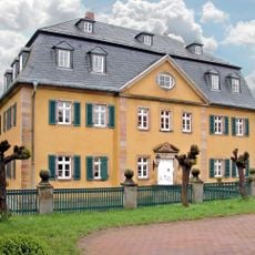
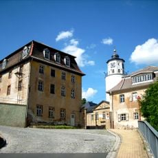
Herrenhaus Hartmannsdorf
488 m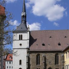
Stadtkirche Eisenberg
5.4 km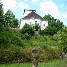
St. Leonhard
4.2 km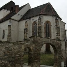
Protestant Church Pötewitz
4.8 km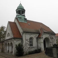
Cemetery Chapel
6 km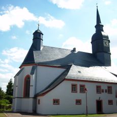
Michaeliskirche
1.6 km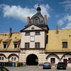
Schloss Bad Köstritz
4.1 km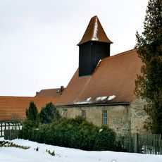
Protestant Church (Tautenhain)
5.8 km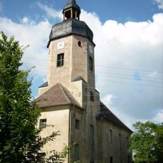
Dorfkirche Silbitz
1.2 km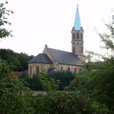
St. Laurentius
5.5 km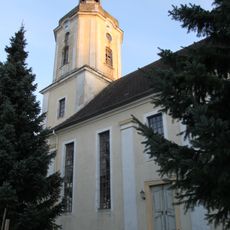
Dorfkirche Etzdorf
3.3 km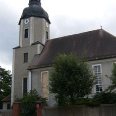
Kirche Caaschwitz
1.8 km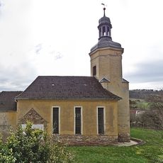
Dorfkirche Rauda
3 km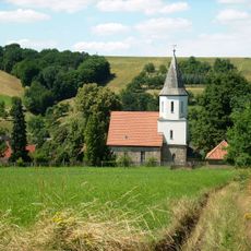
Dorfkirche Seifartsdorf
2.6 km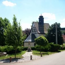
Protestant Church
3 km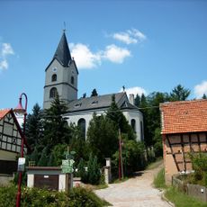
Dorfkirche Reichardtsdorf
4.9 km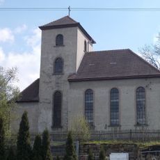
Dorfkirche Thiemendorf
3.9 km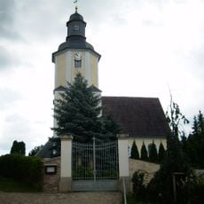
Protestant Church Pohlitz
3.9 km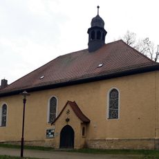
Catholic Church Eisenberg
5.8 km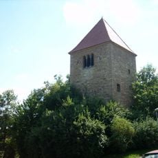
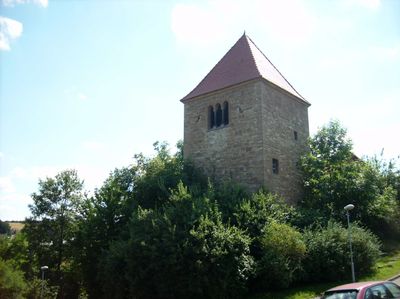
Dorfkirche Hartmannsdorf
452 m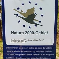
Zeitzer Forst (SA)
4.9 km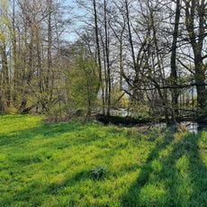
Horseshoe-Oldwater near Rossendorf
4.7 kmVisited this place? Tap the stars to rate it and share your experience / photos with the community! Try now! You can cancel it anytime.
Discover hidden gems everywhere you go!
From secret cafés to breathtaking viewpoints, skip the crowded tourist spots and find places that match your style. Our app makes it easy with voice search, smart filtering, route optimization, and insider tips from travelers worldwide. Download now for the complete mobile experience.

A unique approach to discovering new places❞
— Le Figaro
All the places worth exploring❞
— France Info
A tailor-made excursion in just a few clicks❞
— 20 Minutes