
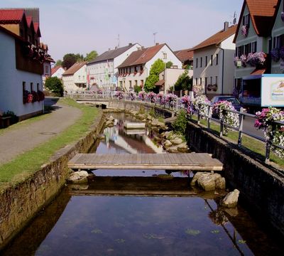
Königsfeld, municipality in Bavaria, Germany
Location: Bamberg
Elevation above the sea: 460 m
Part of: Verwaltungsgemeinschaft Steinfeld
Website: http://koenigsfeld-oberfranken.de
GPS coordinates: 49.95000,11.16667
Latest update: March 3, 2025 17:56
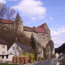
Burg Wiesentfels
3.8 km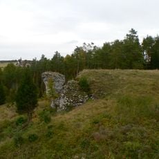
Burgstall Heroldstein
5.8 km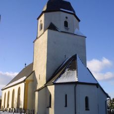
St. Jakobus und Katharina Königsfeld
610 m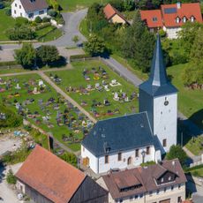
Kirche
3.3 km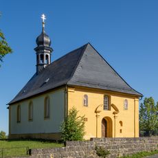
Wallfahrtskirche
2.2 km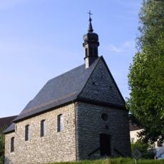
Kapelle Sancta Maria Regina Pacis Laibarös
4.3 km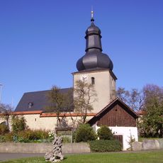
Chorturmkirche
4.8 km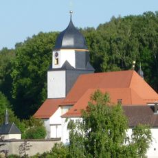
Chorturmkirche
605 m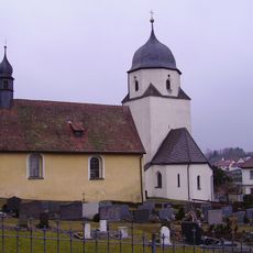
Friedhofskapelle
618 m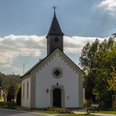
Kapelle St. Sebastian
2.9 km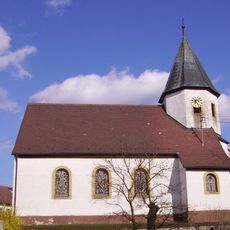
Ortskapelle
3.5 km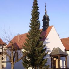
Baudenkmal
5 km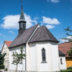
Baudenkmal
3.5 km
Wegkapelle
3.5 km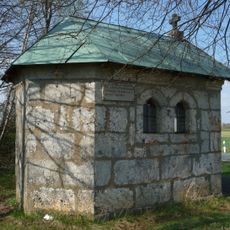
Wegkapelle
5.3 km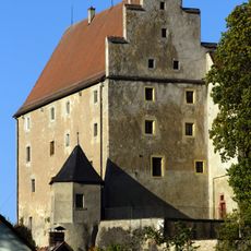
Cultural heritage D-4-6033-0228 in Hollfeld
3.8 km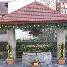
Cultural heritage D-4-71-185-165 in Scheßlitz
4.9 km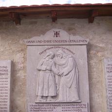
Kriegerdenkmal
4.8 km
Bildstock
767 m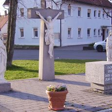
Kreuzigungsgruppe
4.9 km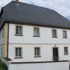
Pfarrhaus
3.3 km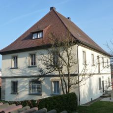
Pfarrhaus
571 m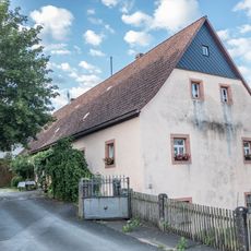
Bauernhaus
648 m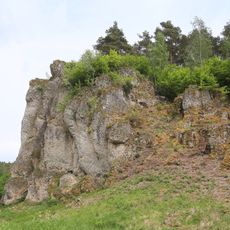
Zwirnstein bei Steinfeld
3.8 km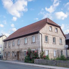
Gasthaus
443 m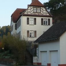
Schulgebäude
3 km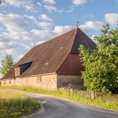
Scheune Hauptstraße 1 in Königsfeld (Oberfranken)
653 m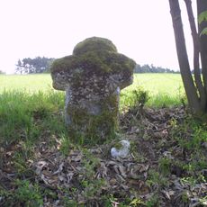
Steinkreuz bei Laibarös
5 kmVisited this place? Tap the stars to rate it and share your experience / photos with the community! Try now! You can cancel it anytime.
Discover hidden gems everywhere you go!
From secret cafés to breathtaking viewpoints, skip the crowded tourist spots and find places that match your style. Our app makes it easy with voice search, smart filtering, route optimization, and insider tips from travelers worldwide. Download now for the complete mobile experience.

A unique approach to discovering new places❞
— Le Figaro
All the places worth exploring❞
— France Info
A tailor-made excursion in just a few clicks❞
— 20 Minutes