Auerberg, Mountain summit in Allgäu, Germany.
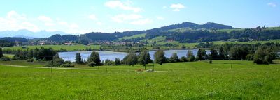
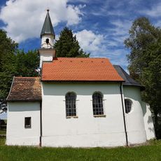
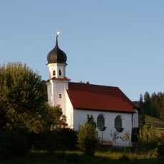
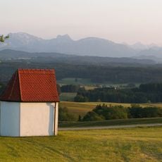
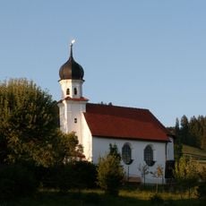
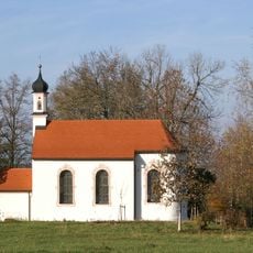
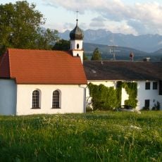
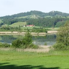
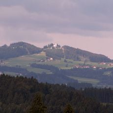
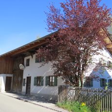
Auerberg is a mountain summit in the Bavarian Allgäu that rises to around 1,055 meters (3,460 ft). A chapel marks the top, and the surrounding terrain is part of the Alpine Foreland, a gently rolling landscape between the Alps and the Danube.
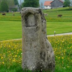
The mountain was home to a small Roman settlement in the 1st century, and traces of that occupation have been found on the slopes. In the medieval period, the site shifted toward religious use, with a pilgrimage tradition that continued to shape the place over time.
A small chapel stands at the top and is a stop for many hikers who pause there during their climb. The site has long been a place of pilgrimage, and that tradition is still felt in the way people approach the summit.
Marked trails lead to the top from a parking area at the base, and most visitors find the walk manageable in a couple of hours. Sturdy footwear is a good idea, as some sections of the path can be steep.
The Auerberg is one of the very few summits in the Alpine Foreland where remains of a Roman town layout have been found, making it an unusual site for archaeology. Some of the objects uncovered there are now held in regional museums.
The community of curious travelers
AroundUs brings together thousands of curated places, local tips, and hidden gems, enriched daily by 60,000 contributors worldwide.