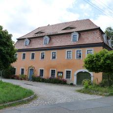
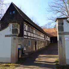
Baeyerhöhe, Mountain summit in Klipphausen, Germany
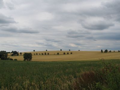
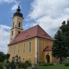
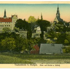
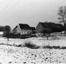
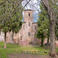
Baeyerhöhe is a mountain summit in the Meissen district of Saxony reaching about 320 meters in elevation, making it the second-highest peak in the area. The peak stands between the Kleine Triebisch and Triebisch rivers in a landscape dotted with smaller settlements.
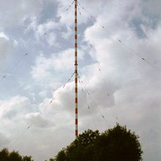
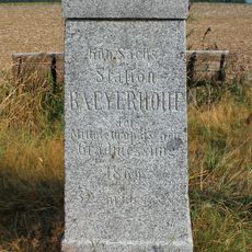
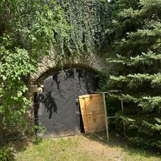
During the 1860s, the summit served as Station 12 in the Royal Saxon triangulation network, with a surveying pillar constructed at its peak. This station was part of a major mapping project that aimed to precisely chart the region's geography.
The mountain takes its name from Johann Jacob Baeyer, a German mathematician who pioneered European surveying methods in the 19th century. The name reflects the scientific importance this location held for mapping the land.
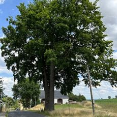
The Ostsee-Saaletalsperren long-distance hiking trail crosses this summit with multiple route options for walkers between the villages of Taubenheim and Burkhardswalde. The trails are generally well-maintained and accessible to hikers of varying experience levels.
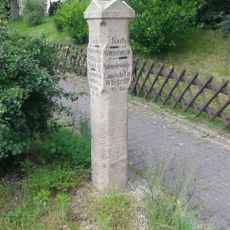
A directional stone at the summit helps visitors identify visible landmarks across the surrounding Meissen Highland landscape. The Autobahn 4 runs along the mountain's southern base, creating an interesting contrast between the rural terrain and modern infrastructure.
The community of curious travelers
AroundUs brings together thousands of curated places, local tips, and hidden gems, enriched daily by 60,000 contributors worldwide.