
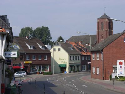
Baal, human settlement in Germany
Location: Hückelhoven
Elevation above the sea: 59 m
GPS coordinates: 51.03330,6.28333
Latest update: May 10, 2025 17:14
Static War Headquarters Castlegate
5 km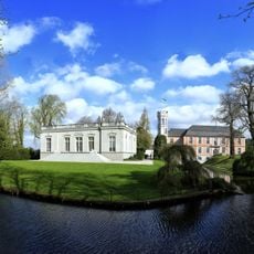
Schloss Rurich
2.4 km
Am hintersten Berg
1.7 km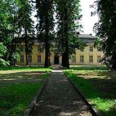
Haus Hohenbusch
3.9 km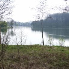
Kapbuschsee
4.3 km
Saint Lambert Church (Immerath neu)
4.6 km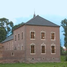
Haus Blumenthal
4.3 km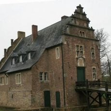
Gut Grittern
3.7 km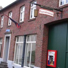
Rheinisches Feuerwehrmuseum e.V.
2.8 km
Haus Hohenbusch
3.9 km
Haberger Hof
1.6 km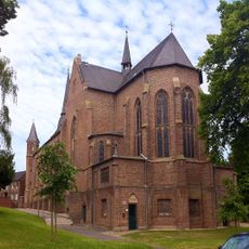
Church of the Conversion of Saint Paul
3.1 km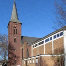
Saint Lambertus Church
4.4 km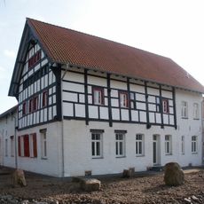
Gut Gansbroich
2 km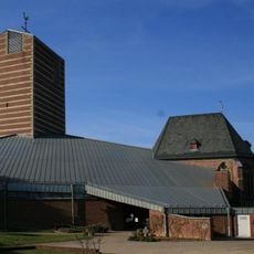
St. Gereon (Brachelen)
4.4 km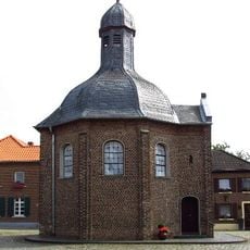
Saint Joseph Chapel (Matzerath)
5 km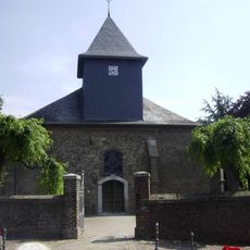
Alt St. Peter
3.5 km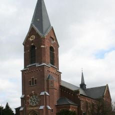
St. Leonhard
4.4 km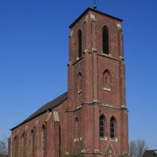
St. Brigida (Baal)
322 m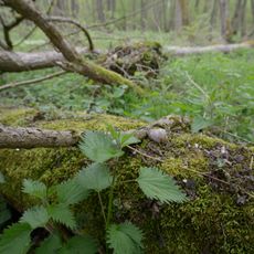
Scherresbruch, Haberger Busch
1.2 km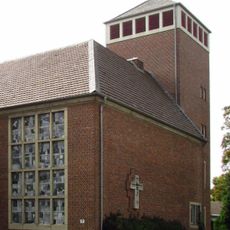
Saint Joseph Church (Hetzerath, Erkelenz)
2.8 km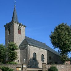
St. Agatha
4.2 km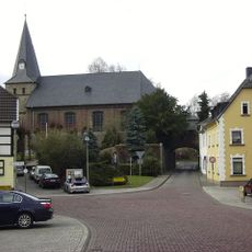
St. Dionysiuskirche
3.2 km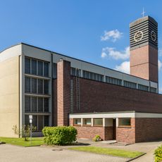
Neu St. Peter
3.7 km
St. Michael
2.6 km
Gillenbusch
4.5 km
St. Margareta
4.4 km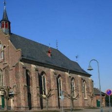
Sacred Heart Church (Rurich)
2.4 kmReviews
Visited this place? Tap the stars to rate it and share your experience / photos with the community! Try now! You can cancel it anytime.
Discover hidden gems everywhere you go!
From secret cafés to breathtaking viewpoints, skip the crowded tourist spots and find places that match your style. Our app makes it easy with voice search, smart filtering, route optimization, and insider tips from travelers worldwide. Download now for the complete mobile experience.

A unique approach to discovering new places❞
— Le Figaro
All the places worth exploring❞
— France Info
A tailor-made excursion in just a few clicks❞
— 20 Minutes