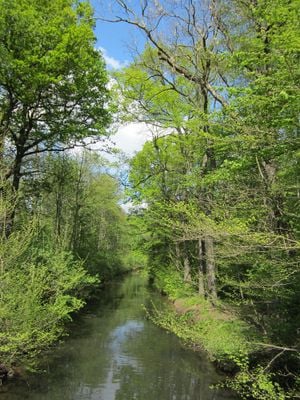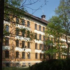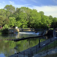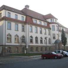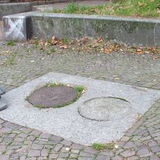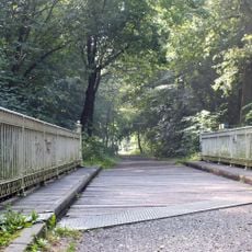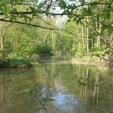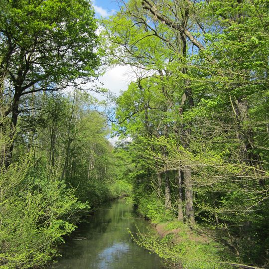
Batschke, Log driving canal in Leipzig District, Germany.
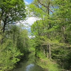
The Batschke, also called Floßgraben, was a roughly ten-kilometre-long, five-metre-wide side arm of the White Elster that branched off at the Alte Elsterwehr west of Kotzschbar and ran along the eastern edge of the Elster floodplain through Zwenkau. South of Budigaß it split; the eastern arm, used for log floating, passed Prödel and Zöbigker, while the western arm divided again near Cospuden. It now reaches the Pleiße only in its lower course near Connewitz.
The Batschke was never a built canal: it was a natural side arm of the White Elster, branching off at the Alten Elsterwehr near Kotzschbar and flowing about ten kilometres to the Pleiße. Its eastern branch was used for log driving and therefore called Floßgraben. In the 1970s lignite mining at Zwenkau cut the upper and middle course, where the Zwenkau and Cospuden lakes now lie.
The name Floßgraben recalls the eastern arm's use for floating timber, while the western arm kept the name Batschke. Near Gautzsch the Batschke fed the moat around the Rittergut. Since 1993 its water has been used for controlled spring flooding to save the floodplain forest.
Only the lower course from Gautzsch carries water; the upper and middle sections lie dry or were destroyed by the Zwenkau open-cast mine. The lower Batschke is linked to Cospudener See by a lock and was dredged, and a concrete bridge under the Brückenstraße lets small boats pass. It is the first completed stretch of the Leipziger Neuseenland water network.
The lower course, 1,960 m long, carries about one cubic metre per second and was the first completed stretch of the Leipziger Neuseenland water network, linked to Cospudener See by a lock and made passable for small boats under the Brückenstraße.
The community of curious travelers
AroundUs brings together thousands of curated places, local tips, and hidden gems, enriched daily by 93,996 contributors worldwide.