
Ludendorf, human settlement in Germany
Location: Swisttal
Elevation above the sea: 153 m
GPS coordinates: 50.66472,6.88694
Latest update: March 8, 2025 05:59

Mueller Cloth Mill
4.8 km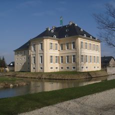
Schloss Miel
2 km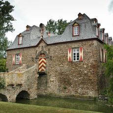
Kleeburg
3.9 km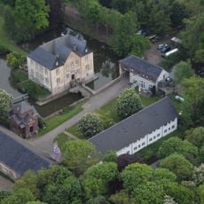
Burg Peppenhoven
4.7 km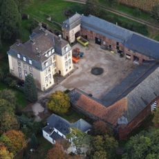
Große Burg Kleinbüllesheim
4.3 km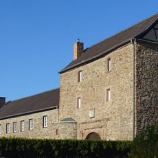
Untere Burg (Kuchenheim)
4.2 km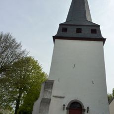
St. Martinus
2.1 km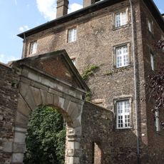
Burg Odendorf
2 km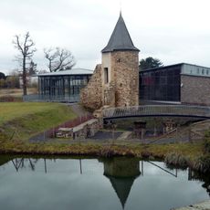
Obere Burg (Kuchenheim)
4.7 km
Golfclub Schloss Miel
1.9 km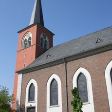
St. Nikolaus (Kuchenheim)
4.5 km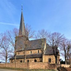
Alt St. Peter und Paul (Odendorf)
2 km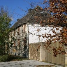
Kloster Maria Stern
821 m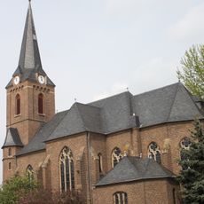
St. Peter und Paul
4.5 km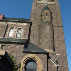
St. Martinus (Ollheim)
2.7 km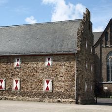
Zehnthaus Odendorf
2 km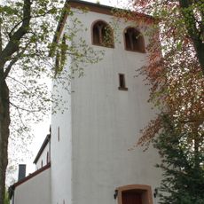
St. John the Baptist Church
4.5 km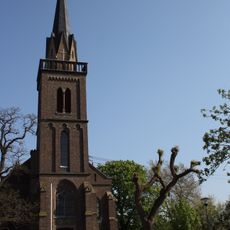
St. Mariä Himmelfahrt (Weidesheim)
3.3 km
St. Ägidius
3.6 km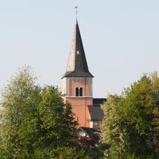
St. Nikolaus
4.8 km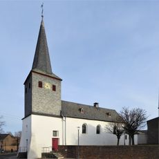
St. Georg (Miel)
2.1 km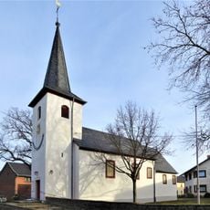
St. Antonius
2.6 km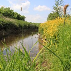
Swistniederung bei Miel
3.3 km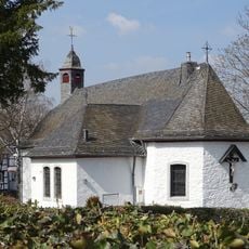
St. Josef
3.6 km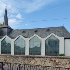
St. Petrus und Paulus
505 m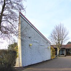
Evangelisches Dietrich-Bonhoeffer-Haus (Odendorf)
1.8 km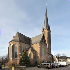
St. Petrus und Paulus
2 km
Dr. Bayer-Straße 21 (Euskirchen)
2.2 kmReviews
Visited this place? Tap the stars to rate it and share your experience / photos with the community! Try now! You can cancel it anytime.
Discover hidden gems everywhere you go!
From secret cafés to breathtaking viewpoints, skip the crowded tourist spots and find places that match your style. Our app makes it easy with voice search, smart filtering, route optimization, and insider tips from travelers worldwide. Download now for the complete mobile experience.

A unique approach to discovering new places❞
— Le Figaro
All the places worth exploring❞
— France Info
A tailor-made excursion in just a few clicks❞
— 20 Minutes