Emsbach, Brook in Hochtaunuskreis, Germany
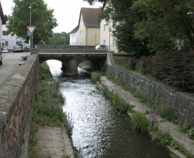
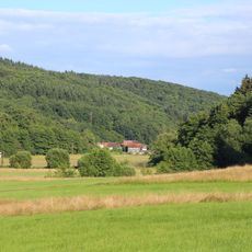
The Emsbach is a waterway that flows for about 40 kilometers through the northern Taunus region, descending roughly 500 meters in elevation along its path. Several tributaries join it during its course, including the Reichenbach from the north and the Schlabach, before it joins a larger river system.
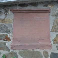
The waterway appears in early medieval records from the 8th century, where it was known by the names Hemisa and Emisa. These ancient names reflect how long this stream has been part of the region's settlement history.
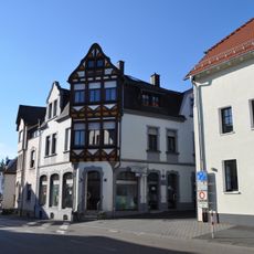
The water system connects multiple communities across three districts: Hochtaunuskreis, Rheingau-Taunus-Kreis, and Landkreis Limburg-Weilburg, supporting local agricultural practices.
The waterway flows through multiple districts and communities, with its course sometimes marking municipal boundaries. The best time to explore is after adequate rainfall, when water levels are high enough to clearly see the stream system.
The gradient of the Emsbach remains remarkably constant throughout its entire course, allowing steady water flow through the Taunus mountains. This even slope made the stream an ideal natural corridor that water mills historically took advantage of.
The community of curious travelers
AroundUs brings together thousands of curated places, local tips, and hidden gems, enriched daily by 60,000 contributors worldwide.