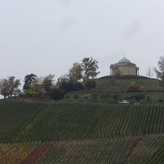
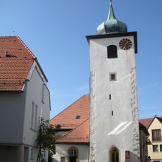
Württemberg, Mountain summit in Stuttgart, Germany.
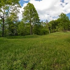
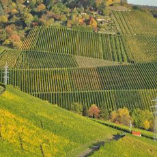
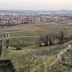
Württemberg is a mountain summit in Stuttgart that rises to 410 meters and forms part of the Schurwald range on the city's southwest side. The peak sits within a broader elevated terrain that shapes the local landscape and connects to several walking paths.
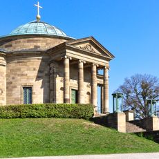
The summit received its name from the noble family that ruled these territories in medieval times and established their power in the region. This location thus became closely linked to the political and territorial development of the area.
The mountain carries the name of the noble family that shaped this region for centuries, and locals still connect the place to their sense of home. The peak remains a reference point in how residents think about their surroundings and their regional roots.
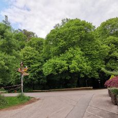
The area is well served by marked walking trails with different routes leading to the summit and varying difficulty levels. Visitors should wear comfortable shoes and choose a path based on their fitness level.
The summit acts as a natural boundary separating different parts of Stuttgart while also serving as an important habitat for local wildlife. Many visitors overlook this ecological role, though it shapes the character of the surrounding landscape.
The community of curious travelers
AroundUs brings together thousands of curated places, local tips, and hidden gems, enriched daily by 60,000 contributors worldwide.