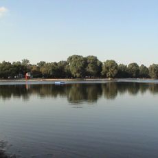
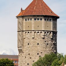
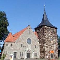
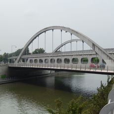
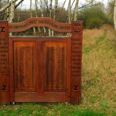
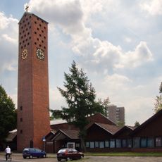
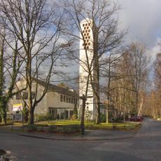
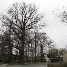
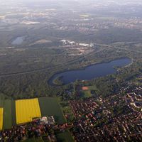
Bothfeld-Vahrenheide, city district of Hanover
Location: Hanover
Elevation above the sea: 56 m
Shares border with: Misburg-Anderten, Buchholz-Kleefeld, Vahrenwald-List, Nord
GPS coordinates: 52.41560,9.77444
Latest update: March 7, 2025 11:24
Silbersee
2 km
Wasserturm
2.8 km
St. Nicholas Church
1.7 km
Noltemeyerbrücke
2 km
Jewish cemetery Bothfeld
1.8 km
Mahnmal für die Sinti im Altwarmbüchener Moor (Hannover)
4.5 km
Elisabeth Church
4.2 km
St. Franziskus
1.5 km
Holy Spirit Church
1.9 km
Epiphaniaskirche
72 m
Liebfrauenkirche
4.2 km
Hl. Kreuz
5.6 km
St.-Philippus church
2.7 km
Natural monument Quercus robur Misburger Wald ND-H 220
4.3 km
Natural monument Quercus robur Misburger Wald ND-H 222
4.3 km
St. Nathanael's Church
2.2 km
Zwölf Apostel
3.4 km
Hochzeitseiche Bothfeld
1.8 km
Tituskirche
1.7 km
Kaiserbrücke
2.5 km
Natural monument Eichengruppe in Isernhagen-Süd
3.3 km
Rosenberg memorial
3.8 km
Cemetery of the Liberal Jewish Community Hannover
4.1 km
Industrial building Podbielskistraße 321, Hanover
2 km
Christophoruskirche
5.7 km
Piece about violence
3.4 km
Villa Rischmüller
3.4 km
Stolperstein dedicated to Emilie Magnus
2.8 kmVisited this place? Tap the stars to rate it and share your experience / photos with the community! Try now! You can cancel it anytime.
Discover hidden gems everywhere you go!
From secret cafés to breathtaking viewpoints, skip the crowded tourist spots and find places that match your style. Our app makes it easy with voice search, smart filtering, route optimization, and insider tips from travelers worldwide. Download now for the complete mobile experience.
A unique approach to discovering new places❞
— Le Figaro
All the places worth exploring❞
— France Info
A tailor-made excursion in just a few clicks❞
— 20 Minutes