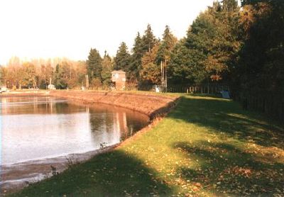
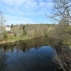
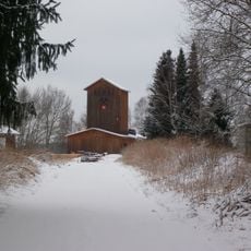
Filzteich, Mining water reservoir in Schneeberg, Germany
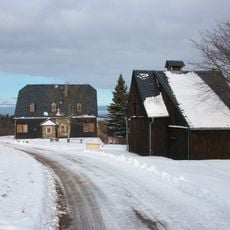
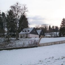
Filzteich is a mining reservoir straddling the border between Schneeberg and Hartmannsdorf bei Kirchberg with a large surface area and multiple access points from both sides. Today the water body offers a beach with sunbathing areas, a water slide tower, and pedal boat rentals for various visitor groups.
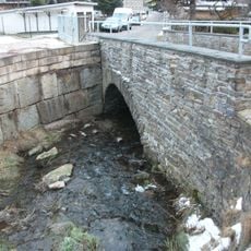
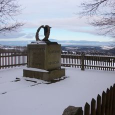
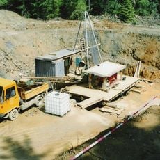
The reservoir was created in the 1480s by a knight to supply water for the mining operations of the area. A devastating dam breach in the 18th century led to extensive repairs involving elaborate stone construction.
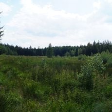
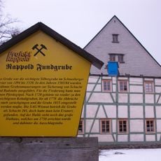
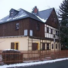
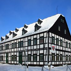
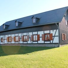
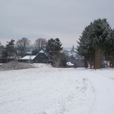
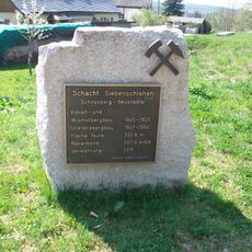
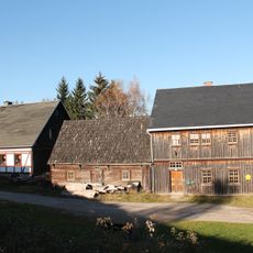
The reservoir has been central to the mining culture of the region for centuries and still shows traces of this heritage today. Visitors can discover walking paths around it that lead through the hilly landscape of the Ore Mountains and make the close connection between water and mining tangible.
Access to the reservoir is straightforward from both adjacent towns, with ample parking and paths around the water. It is best to visit during warmer months when all facilities such as the slide and pedal boats are operational.
The site preserves a rare stone channel built after a dam failure in the late 1700s that showcases technical skill of that era. This construction remains a tangible record of problem-solving during the mining age and can still be seen today.
Location: Schneeberg
Location: Hartmannsdorf bei Kirchberg
Inception: 1483
Address: Hartmannsdorf b. Kirchberg
Website: http://schneeberg.de/html/filzteich1.html
GPS coordinates: 50.57180,12.60540
Latest update: December 8, 2025 19:48
Siebenschlehener Pochwerk
2.3 km
Silberschmelzhütte St. Georgen
2.3 km
Heide und Moorwald am Filzteich
1.3 km
Polish-Saxon Post Milestone Neustädtel
2.4 km
Oberschule Bergstadt Schneeberg
2.3 km
Brendelstein in Neustädtel
2.4 km
Viertelmeilenstein in Neustädtel
2.4 km
Filzteich
237 m
Oberes Schnorrisches Pochwerk; Schneeberger Revier (Sachgesamtheit) Schneeberg
2.4 km
Straßenbrücke Schneeberg
2.4 km
Muldetal bei Aue
2.3 km
Fundgrube Beust
1.7 km
Fundgrube Schindler
1.4 km
Fundgrube Wolfgang Maßen; Schneeberger Revier (Sachgesamtheit) Schneeberg
1.2 km
Fundgrube Sauschwart
1.7 km
Fundgrube Morgenstern
1.8 km
Denkmal St. Anna
1.3 km
Fundgrube Rappold
2 km
Daniel Fundgrube
1.1 km
Fundgrube Rappold; Schneeberger Revier (Sachgesamtheit) Schneeberg
2 km
Fundgrube Gesellschaft
2 km
Fundgrube Anna und Schindler
1.5 km
Fundgrube Sonnenwirbel
2 km
Waldschacht
570 m
Siebenschlehen
1 km
Schulgebäude Schulstraße 6
1.8 km
Kantorat in geschlossener Bebauung, mit Heiste Karlsbader Straße 87
2.2 km
Fundgrube Daniel; Schneeberger Revier (Sachgesamtheit) Schneeberg
1.1 kmVisited this place? Tap the stars to rate it and share your experience / photos with the community! Try now! You can cancel it anytime.
Discover hidden gems everywhere you go!
From secret cafés to breathtaking viewpoints, skip the crowded tourist spots and find places that match your style. Our app makes it easy with voice search, smart filtering, route optimization, and insider tips from travelers worldwide. Download now for the complete mobile experience.
A unique approach to discovering new places❞
— Le Figaro
All the places worth exploring❞
— France Info
A tailor-made excursion in just a few clicks❞
— 20 Minutes