Enable Location

We need your location to show you interesting places around you

Discover nearby places

Find interesting locations and hidden gems around you

Precise directions

Get accurate directions and distances to places

Your location is never shared with other users. It's only used when you tap the location button.

Glessener Höhe

Log in to your account

Start exploring — it's free

Trusted by 62,013 travelers worldwide

Continue with Google
Continue with Apple
or

We will send you a code to connect

By continuing, you accept our Terms and Conditions and our Privacy Policy

Check your inbox

We've sent a pincode in your inbox. Please enter the code below.

Glessener Höhe

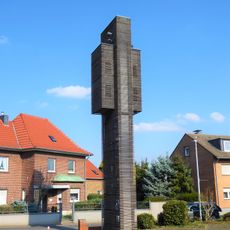
Glessener Höhe, Summit at Bergheim, Germany

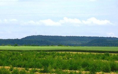
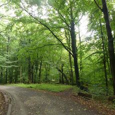
Glessener Höhe is a summit in Bergheim rising 204 meters above sea level and covered with poplar, beech, birch, oak, and spruce trees on its slopes. The forested slopes create a mixed woodland environment that changes character with the seasons.

This elevation was created between 1955 and 1970 from materials extracted during brown coal mining at the Fortuna open-pit mine. The summit thus represents a landscape transformed through industrial activity in the region.

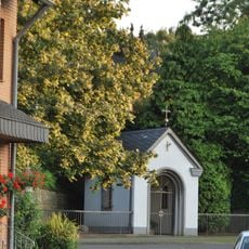
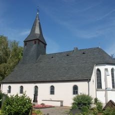
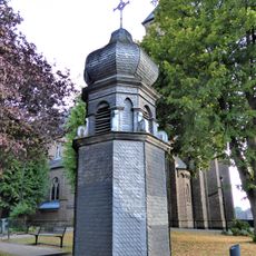
The summit cross here hosts an ecumenical service on Ascension Day, bringing together Protestant and Catholic congregations from the surrounding area. This annual gathering reflects how the community uses this elevated location for shared spiritual moments.

Several marked hiking paths lead to the summit, with a wooden staircase called Himmelsleiter offering 350 steps to reach the top. The routes are well signposted and easy to navigate for visitors of various abilities.

The summit features a visitor book where hikers record their arrival after reaching the highest point between the Eifel and Bergisches Land regions. This logbook captures the stories of countless visitors who have made the climb over the years.

The community of curious travelers

AroundUs brings together thousands of curated places, local tips, and hidden gems, enriched daily by 60,000 contributors worldwide.

Start exploring
GPS coordinates
50.95363,6.72898
Latest update
December 10, 2025 16:24
« Glessener Höhe - Summit at Bergheim, Germany » is provided by Around Us (aroundus.com). Images and texts are derived from Wikimedia project under a Creative Commons license. You are allowed to copy, distribute, and modify copies of this page, under the conditions set by the license, as long as this note is clearly visible.

Discover hidden gems everywhere you go!

From secret cafés to breathtaking viewpoints, skip the crowded tourist spots and find places that match your style. Our app makes it easy with voice search, smart filtering, route optimization, and insider tips from travelers worldwide. Download now for the complete mobile experience.

Around Us App Screenshot

A unique approach to discovering new places

Le Figaro

All the places worth exploring

France Info

A tailor-made excursion in just a few clicks

20 Minutes

Around Us
Travel Guide & Maps
Download

Send to your phone

QR Code
1

Open the camera app on your mobile.

2

Point at the QR code with your camera. A notification will appear.

3

Tap the notification to open the link.